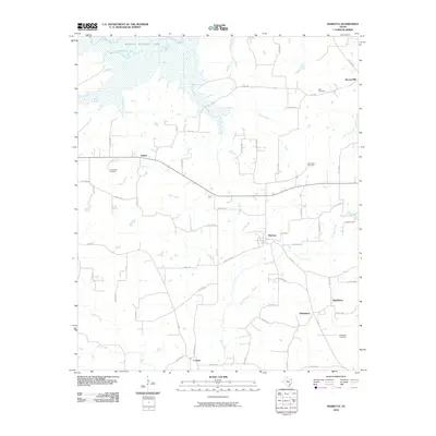
2010 Map of Marietta
USGS Topo · Published 2010About this map
Wright Patman Lake and the Sulphur River dominate the northern landscape of this Cass County region, where the wetlands of Jennings Lake transition into a network of creek-fed bottomlands. The settlement of Marietta serves as a central hub, connected by farm roads to smaller communities like Dalton, Nickleberry, and Bethlehem. This 2010 survey illustrates a rural Texas landscape where agriculture and water management define the local geography, with drainage from Mill Creek, Floyd Creek, and Bear Creek flowing toward the larger river basin.
Find a feature on this map
67 named features on this map. Tap any name to fly to it.
Don’t see what you’re looking for? This feature index may not catch every label — zoom into the map to look around manually.
Map Details
Editions of this 2010 Marietta Map
This is the sole edition of this map. No revisions or reprints were ever made.
Other maps of this area

1909 · New Boston
USGS Topo · 1:62,500

1910 · Linden
USGS Topo · 1:62,500

1914 · Daingerfield
USGS Topo · 1:62,500

1930 · Bassett
USGS Topo · 1:62,500

1953 · Texarkana
USGS Topo · 1:250,000

1955 · Corley
USGS Topo · 1:24,000

1955 · New Boston
USGS Topo · 1:62,500

1956 · Texarkana
USGS Topo · 1:250,000

1964 · Daingerfield
USGS Topo · 1:24,000

1965 · Marietta
USGS Topo · 1:24,000