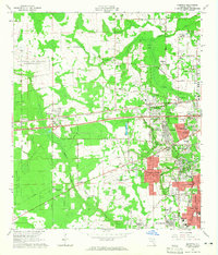
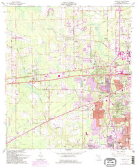
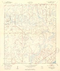
1964 Map of Marietta
USGS Topo · Published 1965About this map
Marietta and the western reaches of Jacksonville's expanding suburbs define this landscape during a period of significant mid-century transition. The arrival of major infrastructure is evident through the corridor formed by the Seaboard Air Line and the Atlantic Coast Line railroads, which parallel historic routes like Old Plank Road. The area is anchored by heavy military and aviation footprints, including Whitehouse Field and Herlong Field, while residential growth is visible in the structured street grids of Normandy Village and Cedar Hills Estates.
Find a feature on this map
78 named features on this map. Tap any name to fly to it.
Don’t see what you’re looking for? This feature index may not catch every label — zoom into the map to look around manually.
Map Details
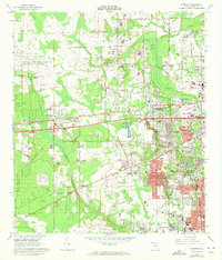
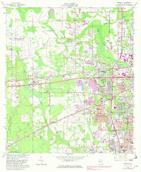
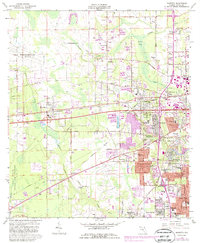
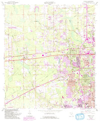
Editions of this 1964 Marietta Map
6 editions found
Other maps of this area

1917 · Orange Park
USGS Topo · 1:62,500
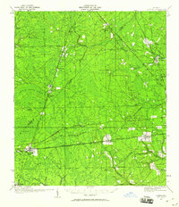
1917 · Cambon
USGS Topo · 1:62,500
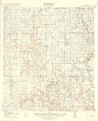
1918 · Middleburg
USGS Topo · 1:62,500
1918 · Cambon
USGS Topo · 1:62,500

1918 · Jacksonville
USGS Topo · 1:62,500
1918 · Orange Park
USGS Topo · 1:62,500
1941 · Middleburg
USGS Topo · 1:62,500

1948 · Jacksonville
USGS Topo · 1:250,000
1949 · Fiftone
USGS Topo · 1:24,000
1949 · Jacksonville Heights
USGS Topo · 1:24,000
Featured Places
- Jacksonville, FL
- Hart Haven, Jacksonville
- Whitehouse, Jacksonville
- Caleb, Jacksonville
- Normandy Village, Jacksonville