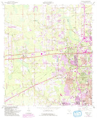
1964 Map of Marietta
USGS Topo · Published 1992About this map
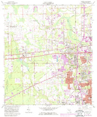
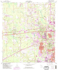
Marietta and the surrounding Duval County landscape are captured here during a period of significant suburban expansion and military utility. The western edge of the map is dominated by aviation interests, including the Naval Air Station (Whitehouse Field) and the northern reaches of Naval Air Station (Cecil Field), while Herlong Airport serves civil aviation needs to the east. The transportation network is defined by the Seaboard Coast Line railroad and arterial routes like Commonwealth Avenue and Normandy Blvd.
Find a feature on this map
59 named features on this map. Tap any name to fly to it.
Don’t see what you’re looking for? This feature index may not catch every label — zoom into the map to look around manually.
Map Details
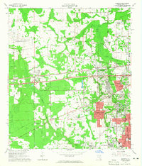
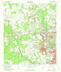
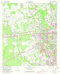
Editions of this 1964 Marietta Map
6 editions found
Other maps of this area

1917 · Orange Park
USGS Topo · 1:62,500

1917 · Cambon
USGS Topo · 1:62,500

1918 · Middleburg
USGS Topo · 1:62,500

1918 · Cambon
USGS Topo · 1:62,500

1918 · Jacksonville
USGS Topo · 1:62,500

1918 · Orange Park
USGS Topo · 1:62,500

1941 · Middleburg
USGS Topo · 1:62,500

1948 · Jacksonville
USGS Topo · 1:250,000

1949 · Fiftone
USGS Topo · 1:24,000

1949 · Jacksonville Heights
USGS Topo · 1:24,000
Featured Places
- Jacksonville, FL
- Hart Haven, Jacksonville
- Whitehouse, Jacksonville
- Caleb, Jacksonville
- Normandy Village, Jacksonville