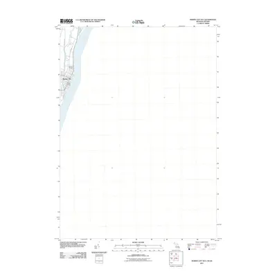
2011 Map of Marine City OE E
USGS Topo · Published 2011About this map
Marine City anchors the shoreline where the Saint Clair River meets the mouth of the Belle River along the international border. This 2011 survey focuses on the waterfront infrastructure and residential footprint of the community, detailing local thoroughfares like Belle River Rd and Pointe Dr. The map shows the town's essential services and landmarks, including the Marine City Post Office and the northern reaches of the settlement. To the north of the main residential area, Woodlawn Cemetery sits between the two river courses, providing a clear view of the land use patterns at the edge of the developed town. This map is particularly useful for observing how the community is physically constrained by its riverine geography, with development hugging the banks of the St. Clair.
Find a feature on this map
8 named features on this map. Tap any name to fly to it.
Don’t see what you’re looking for? This feature index may not catch every label — zoom into the map to look around manually.
Map Details
Editions of this 2011 Marine City OE E Map
This is the sole edition of this map. No revisions or reprints were ever made.
Other maps of this area

1912 · Port Huron
USGS Topo · 1:62,500

1914 · Algonac
USGS Topo · 1:62,500

1928 · Hicky
USGS Topo · 1:62,500

1929 · Port Huron
USGS Topo · 1:62,500

1936 · St. Clair
USGS Topo · 1:31,680

1936 · Rattle Run
USGS Topo · 1:31,680

1936 · Algonac
USGS Topo · 1:31,680

1939 · St. Clair
USGS Topo · 1:24,000

1939 · Marine City
USGS Topo · 1:24,000
1939 · Algonac
USGS Topo · 1:24,000