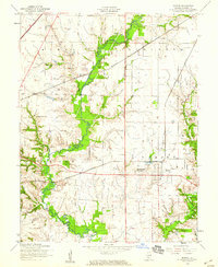
1954 Map of Marine
USGS Topo · Published 1959About this map
Marine serves as the central hub of this mid-century Madison County landscape, where the grid-like agricultural blocks are interrupted by the winding path of Silver Creek. The area’s educational and spiritual framework is visible through several rural landmarks, including Loos School, Union Grove School, and Immanuel Church. Transportation is a dominant theme, with the Illinois Central, New York Chicago and St Louis, and the Illinois Terminal railroads converging to move goods from this fertile prairie region.
Find a feature on this map
20 named features on this map. Tap any name to fly to it.
Don’t see what you’re looking for? This feature index may not catch every label — zoom into the map to look around manually.
Map Details
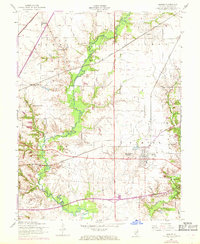
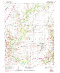
Editions of this 1954 Marine Map
Other maps of this area

1906 · Breese
USGS Topo · 1:62,500

1907 · Breese
USGS Topo · 1:62,500

1907 · Belleville
USGS Topo · 1:62,500

1927 · Edwardsville
USGS Topo · 1:62,500

1932 · Edwardsville
USGS Topo · 1:62,500

1937 · Collinsville
USGS Topo · 1:24,000

1937 · New Douglas
USGS Topo · 1:48,000

1944 · New Douglas
USGS Topo · 1:62,500

1949 · St. Jacob
USGS Topo · 1:24,000

1950 · Edwardsville
USGS Topo · 1:24,000