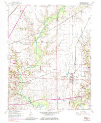
1954 Map of Marine
USGS Topo · Published 1984About this map
Marine serves as the central hub of this Madison County landscape, situated near the winding course of Silver Creek. The area’s mid-century rural character is defined by a dense network of country education and worship, including Union Grove Sch, Loos Sch, and Immanuel Ch. The map captures a transitional period for regional transport, showing the intersection of heavy rail lines like the Illinois Central and Norfolk and Western with emerging automotive infrastructure such as Interstate 70.
Find a feature on this map
22 named features on this map. Tap any name to fly to it.
Don’t see what you’re looking for? This feature index may not catch every label — zoom into the map to look around manually.
Map Details
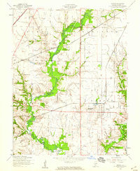
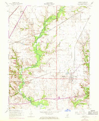
Editions of this 1954 Marine Map
Other maps of this area

1906 · Breese
USGS Topo · 1:62,500

1907 · Breese
USGS Topo · 1:62,500

1907 · Belleville
USGS Topo · 1:62,500

1927 · Edwardsville
USGS Topo · 1:62,500

1932 · Edwardsville
USGS Topo · 1:62,500

1937 · Collinsville
USGS Topo · 1:24,000

1937 · New Douglas
USGS Topo · 1:48,000

1944 · New Douglas
USGS Topo · 1:62,500

1949 · St. Jacob
USGS Topo · 1:24,000

1950 · Edwardsville
USGS Topo · 1:24,000