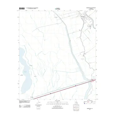
2012 Map of Maringouin
USGS Topo · Published 2012About this map
Maringouin anchors this landscape in Iberville Parish, situated along a complex network of bayous and man-made levees. The town's grid is dense with family-named streets like Landry Dr and Lions Ave, while the surrounding geography is defined by the heavy infrastructure of the Atchafalaya Basin Levee Rd. This modern survey illustrates the persistent industrial footprint of the region, featuring the Kenmore Oil and Gas Field and the Musson Gas Field, which coexist with the wet terrain of Des Ourses Swamp and Tight Island. Significant local history is preserved at the Saint Peter Cem and New Zion Cem near the town center, while further south, the settlement of Ramah sits at a critical junction near Bayou Brown. The intricate waterways, including Bayou Black and Big Island Chute, reveal the shifting drainage patterns of the Louisiana basin.
Find a feature on this map
55 named features on this map. Tap any name to fly to it.
Don’t see what you’re looking for? This feature index may not catch every label — zoom into the map to look around manually.
Map Details
Editions of this 2012 Maringouin Map
This is the sole edition of this map. No revisions or reprints were ever made.
Other maps of this area

1906 · Bayou Sara
USGS Topo · 1:125,000

1935 · Osca Bayou
USGS Topo · 1:62,500

1939 · Fordoche
USGS Topo · 1:62,500

1940 · Grosse Tete
USGS Topo · 1:62,500

1953 · Cow Bayou
USGS Topo · 1:24,000

1953 · Maringouin
USGS Topo · 1:24,000

1953 · Grosse Tete SW
USGS Topo · 1:24,000

1954 · Fordoche
USGS Topo · 1:24,000

1954 · Erwinville
USGS Topo · 1:24,000

1954 · Grosse Tete
USGS Topo · 1:24,000