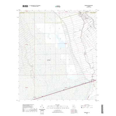
2020 Map of Maringouin
USGS Topo · Published 2020About this map
Bayou Grosse Tete defines the eastern edge of this landscape, its banks hosting a concentrated string of settlements and cemeteries at the edge of the Atchafalaya Basin Floodway. The town of Maringouin serves as a primary hub, surrounded by a dense network of burial grounds including Saint Stephens Episcopal Cem, Immaculate Heart of Mary Cem, and the Greater Bethany Baptist Cem. This area of Iberville and Pointe Coupee parishes is marked by the transition from the structured drainage of the floodway to the settled corridors of Sparks, Musson, and Ramah.
Find a feature on this map
54 named features on this map. Tap any name to fly to it.
Don’t see what you’re looking for? This feature index may not catch every label — zoom into the map to look around manually.
Map Details
Editions of this 2020 Maringouin Map
This is the sole edition of this map. No revisions or reprints were ever made.
Other maps of this area

1906 · Bayou Sara
USGS Topo · 1:125,000

1935 · Osca Bayou
USGS Topo · 1:62,500

1939 · Fordoche
USGS Topo · 1:62,500

1940 · Grosse Tete
USGS Topo · 1:62,500

1953 · Cow Bayou
USGS Topo · 1:24,000

1953 · Maringouin
USGS Topo · 1:24,000

1953 · Grosse Tete SW
USGS Topo · 1:24,000

1954 · Fordoche
USGS Topo · 1:24,000

1954 · Erwinville
USGS Topo · 1:24,000

1954 · Grosse Tete
USGS Topo · 1:24,000