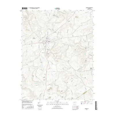
2016 Map of Marion
USGS Topo · Published 2016About this map
The town of Marion serves as the focal point of this western Kentucky survey, situated where the ridge-and-valley terrain meets a complex network of streams like Crooked Cr and Butler Cr. Local industry and infrastructure are evident in the Marion-Crittenden County Airport and the sprawling grid of the county seat, while the surrounding landscape is marked by prominent elevations such as Wilson Hill and Peter Stevens Hill.
Find a feature on this map
120 named features on this map. Tap any name to fly to it.
Don’t see what you’re looking for? This feature index may not catch every label — zoom into the map to look around manually.
Map Details
Editions of this 2016 Marion Map
This is the sole edition of this map. No revisions or reprints were ever made.
Other maps of this area

1908 · Princeton
USGS Topo · 1:62,500

1909 · Providence
USGS Topo · 1:62,500

1910 · Princeton
USGS Topo · 1:62,500

1916 · Fords Ferry
USGS Topo · 1:62,500

1921 · Fords Ferry
USGS Topo · 1:48,000

1925 · Cave In Rock
USGS Topo · 1:62,500

1928 · Eddyville
USGS Topo · 1:48,000

1931 · Eddyville
USGS Topo · 1:62,500

1936 · Eddyville
USGS Topo · 1:48,000

1949 · Paducah
USGS Topo · 1:250,000