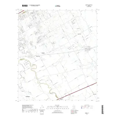
2019 Map of Marion
USGS Topo · Published 2019About this map
Cibolo Cr and its winding tributaries define the landscape of eastern Bexar and western Guadalupe counties, carving a path through suburban expansion and rural homesteads. This modern survey illustrates the proximity of growing communities like Schertz and Cibolo, while still preserving the identities of smaller locales such as Haeckerville and Crescent Bend. The map serves as a detailed record of local geography, showing the transition from the dense residential networks of Northcliff in the north to the open country near New Berlin in the southeast.
Find a feature on this map
174 named features on this map. Tap any name to fly to it.
Don’t see what you’re looking for? This feature index may not catch every label — zoom into the map to look around manually.
Map Details
Editions of this 2019 Marion Map
This is the sole edition of this map. No revisions or reprints were ever made.
Other maps of this area

1924 · New Braunfels No 4
USGS Topo · 1:48,000

1925 · New Braunfels No 1
USGS Topo · 1:48,000

1927 · New Braunfels
USGS Topo · 1:62,500

1953 · Schertz
USGS Topo · 1:24,000

1953 · Bat Cave
USGS Topo · 1:24,000

1953 · Martinez
USGS Topo · 1:24,000

1954 · San Antonio
USGS Topo · 1:250,000

1957 · San Antonio
USGS Topo · 1:250,000

1957 · New Berlin
USGS Topo · 1:24,000

1958 · Marion
USGS Topo · 1:24,000