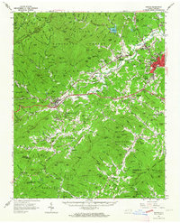
1962 Map of Marion
USGS Topo · Published 1964About this map
Marion serves as a significant hub in the early 1960s where the Southern Railway and Clinchfield RR intersect, driving the development of nearby West Marion and Pleasant Gardens. The landscape is defined by the sharp transition from the industrial and transport corridor along the Catawba River to the protected heights of the Pisgah National Forest. To the west, the town of Old Fort sits at the foot of Heartbreak Ridge, a name that hints at the difficult terrain encountered by early travelers crossing the Blue Ridge.
Find a feature on this map
88 named features on this map. Tap any name to fly to it.
Don’t see what you’re looking for? This feature index may not catch every label — zoom into the map to look around manually.
Map Details
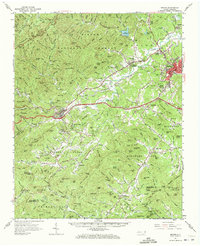
Editions of this 1962 Marion Map
2 editions found
Other maps of this area

1900 · Mount Mitchell
USGS Topo · 1:125,000

1902 · Mount Mitchell
USGS Topo · 1:125,000

1905 · Morganton
USGS Topo · 1:125,000

1907 · Saluda
USGS Topo · 1:125,000

1934 · Parts Of Celo And Black Brothers
USGS Topo · 1:24,000

1934 · Parts Of Old Fort and Montreat
USGS Topo · 1:24,000

1935 · Montreat
USGS Topo · 1:24,000

1935 · Black Brothers
USGS Topo · 1:24,000

1935 · Batcave
USGS Topo · 1:24,000

1935 · Black Mountain
USGS Topo · 1:24,000