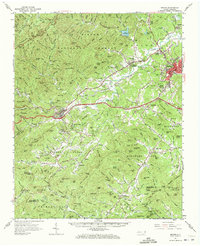
1962 Map of Marion
USGS Topo · Published 1972About this map
The Catawba River and its upper tributaries carve through the eastern slopes of the Blue Ridge in this early 1960s snapshot of McDowell County. At the heart of the landscape, Marion serves as a regional hub where the Southern railroad intersects with industrial and community landmarks like the Filtration Plant and Mt Calvary Ch. To the west, the village of Old Fort sits at the foot of the mountains, marking a transition into the dense terrain of the Pisgah National Forest and the scenic high-altitude route of the Blue Ridge Parkway.
Find a feature on this map
177 named features on this map. Tap any name to fly to it.
Don’t see what you’re looking for? This feature index may not catch every label — zoom into the map to look around manually.
Map Details
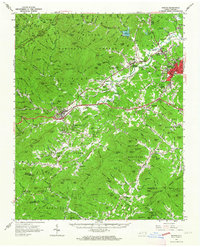
Editions of this 1962 Marion Map
2 editions found
Other maps of this area

1900 · Mount Mitchell
USGS Topo · 1:125,000

1902 · Mount Mitchell
USGS Topo · 1:125,000

1905 · Morganton
USGS Topo · 1:125,000

1907 · Saluda
USGS Topo · 1:125,000

1934 · Parts Of Celo And Black Brothers
USGS Topo · 1:24,000

1934 · Parts Of Old Fort and Montreat
USGS Topo · 1:24,000

1935 · Montreat
USGS Topo · 1:24,000

1935 · Black Brothers
USGS Topo · 1:24,000

1935 · Batcave
USGS Topo · 1:24,000

1935 · Black Mountain
USGS Topo · 1:24,000