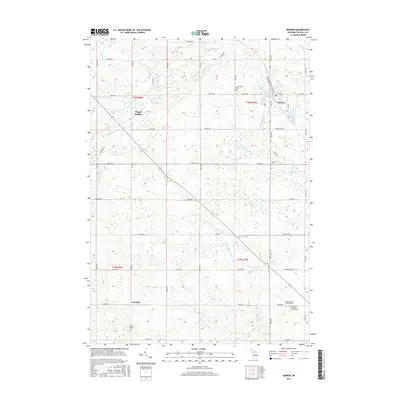
2017 Map of Marion
USGS Topo · Published 2017About this map
Marion serves as the primary hub in this portion of Osceola County, situated at the junction of E Main St and S Mill St. The town is characterized by its proximity to the Middle Br River and the local Mill -Pond, reflecting the water-driven development common in this part of Michigan. The surrounding landscape is a network of section-line roads, including 20 Mile Rd and 30th Ave, connecting small rural settlements like Avondale and the elevations of Pisgah Heights.
Find a feature on this map
56 named features on this map. Tap any name to fly to it.
Don’t see what you’re looking for? This feature index may not catch every label — zoom into the map to look around manually.
Map Details
Editions of this 2017 Marion Map
This is the sole edition of this map. No revisions or reprints were ever made.
Other maps of this area

1954 · Traverse City
USGS Topo · 1:250,000

1954 · Midland
USGS Topo · 1:250,000

1957 · Cadillac South
USGS Topo · 1:62,500

1957 · Marion
USGS Topo · 1:62,500

1958 · Traverse City
USGS Topo · 1:250,000

1958 · Midland
USGS Topo · 1:250,000

1959 · Midland
USGS Topo · 1:250,000

1959 · Lake
USGS Topo · 1:62,500

1959 · Evart
USGS Topo · 1:62,500

1966 · Midland
USGS Topo · 1:250,000