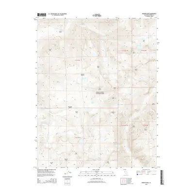
2015 Map of Marion Peak
USGS Topo · Published 2015About this map
Kings Canyon National Park encompasses this entire high-altitude terrain, where the granite peaks of the Sierra Nevada define a landscape of extreme vertical relief. The central spine of the Cirque Crest and the Monarch Divide separate deep glacial carved basins and remote alpine waters. Notable among these is the Lake of the Fallen Moon and the State Lakes, which feed into the complex drainage of the Middle Fork Kings River system.
Find a feature on this map
40 named features on this map. Tap any name to fly to it.
Don’t see what you’re looking for? This feature index may not catch every label — zoom into the map to look around manually.
Map Details
Editions of this 2015 Marion Peak Map
This is the sole edition of this map. No revisions or reprints were ever made.
Other maps of this area

1903 · Tehipite
USGS Topo · 1:125,000

1905 · Tehipite
USGS Topo · 1:125,000

1907 · Mt. Whitney
USGS Topo · 1:125,000

1912 · Mt. Goddard
USGS Topo · 1:125,000

1913 · Bishop
USGS Topo · 1:125,000

1919 · Mt. Whitney
USGS Topo · 1:125,000

1937 · Mt. Whitney
USGS Topo · 1:125,000

1947 · Mariposa
USGS Topo · 1:250,000

1948 · Fresno
USGS Topo · 1:250,000

1948 · Mariposa
USGS Topo · 1:250,000