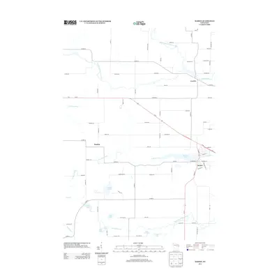
2013 Map of Marion
USGS Topo · Published 2013About this map
Marion serves as the primary population center of this landscape, situated at the confluence of the N Br Pigeon River and Marion Pond. The surrounding geography is defined by a complex network of waterways, including the Embarrass River and its branches to the north, and the meandering S Br Pigeon River to the south. This 2013 data illustrates the persistent rural character of Waupaca County, where smaller settlements like Caroline and Hunting are connected by a grid of county highways and local roads such as Co HWY-M and Weasel Dam Rd. Numerous small water bodies, including Kinney Lake, Keller Lake, and Little Long Lake, dot the terrain, suggesting a post-glacial topography typical of this part of Wisconsin. The presence of Railroad St in Marion points to the town's historic development alongside transportation corridors that supported the local economy.
Find a feature on this map
80 named features on this map. Tap any name to fly to it.
Don’t see what you’re looking for? This feature index may not catch every label — zoom into the map to look around manually.
Map Details
Editions of this 2013 Marion Map
This is the sole edition of this map. No revisions or reprints were ever made.
Other maps of this area

1954 · Wittenberg
USGS Topo · 1:48,000

1954 · Gresham
USGS Topo · 1:48,000

1955 · Clintonville
USGS Topo · 1:48,000

1955 · Tigerton
USGS Topo · 1:48,000

1955 · Green Bay
USGS Topo · 1:250,000

1964 · Wittenberg
USGS Topo · 1:62,500

1964 · Gresham
USGS Topo · 1:62,500

1970 · Clintonville North
USGS Topo · 1:24,000
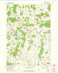
1970 · Symco
USGS Topo · 1:24,000
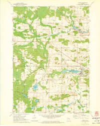
1970 · Marion
USGS Topo · 1:24,000