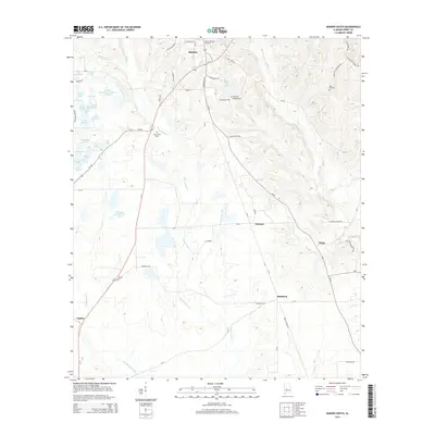
2014 Map of Marion South
USGS Topo · Published 2014About this map
Marion Military Institute anchors the northern portion of this Perry County landscape, marking a historic center of education and military tradition in Marion. Moving south from the town center, the terrain transitions into a patchwork of rural holdings and small settlements including Norman, Vilula, and Hamburg. The geography is defined by the winding course of Bogue Chitto Cr, which flows through the center of the map, and Washington Creek to the west. This area is notable for its numerous named private water bodies and agricultural ponds, such as the extensive Lakeland Farms Pond Number Fourteen and F W Pierce Lake Number One. Local genealogy is reflected in the placement of Friendship Cem and Mars Hill Cem, which serve as quiet landmarks for the families of this central Alabama region.
Find a feature on this map
67 named features on this map. Tap any name to fly to it.
Don’t see what you’re looking for? This feature index may not catch every label — zoom into the map to look around manually.
Map Details
Editions of this 2014 Marion South Map
This is the sole edition of this map. No revisions or reprints were ever made.
Other maps of this area

1953 · Montgomery
USGS Topo · 1:250,000

1956 · Montgomery
USGS Topo · 1:250,000

1957 · Montgomery
USGS Topo · 1:250,000

1958 · Selma
USGS Topo · 1:62,500

1959 · Summerfield
USGS Topo · 1:62,500

1968 · Uniontown East
USGS Topo · 1:24,000

1968 · Browns
USGS Topo · 1:24,000

1975 · Selma NW
USGS Topo · 1:24,000

1975 · Summerfield SW
USGS Topo · 1:24,000

1979 · Marion North
USGS Topo · 1:24,000