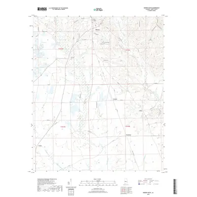
2018 Map of Marion South
USGS Topo · Published 2018About this map
Marion Military Institute stands as a prominent fixture in the northern portion of this Perry County landscape, marking the edge of the Marion settlement area. The terrain transitions south into a network of small communities and rural family-named landmarks connected by a dense grid of county roads. The drainage pattern is defined by the winding course of Bogue Chitto Cr, which flows southward through a valley dotted with smaller agricultural outposts like Norman and Vilula. This 2018 survey reveals a landscape where modern residential developments near the city center, such as those along Crestwood Dr, coexist with long-established rural anchors. Genealogists and local researchers will find significant value in the documentation of several local burial grounds, including Pinecrest Memorial Cem, Friendship Cem, and Mars Hill Cem, which are scattered throughout the hills and creek bottoms.
Find a feature on this map
64 named features on this map. Tap any name to fly to it.
Don’t see what you’re looking for? This feature index may not catch every label — zoom into the map to look around manually.
Map Details
Editions of this 2018 Marion South Map
This is the sole edition of this map. No revisions or reprints were ever made.
Other maps of this area

1953 · Montgomery
USGS Topo · 1:250,000

1956 · Montgomery
USGS Topo · 1:250,000

1957 · Montgomery
USGS Topo · 1:250,000

1958 · Selma
USGS Topo · 1:62,500

1959 · Summerfield
USGS Topo · 1:62,500

1968 · Uniontown East
USGS Topo · 1:24,000

1968 · Browns
USGS Topo · 1:24,000

1975 · Selma NW
USGS Topo · 1:24,000

1975 · Summerfield SW
USGS Topo · 1:24,000

1979 · Marion North
USGS Topo · 1:24,000