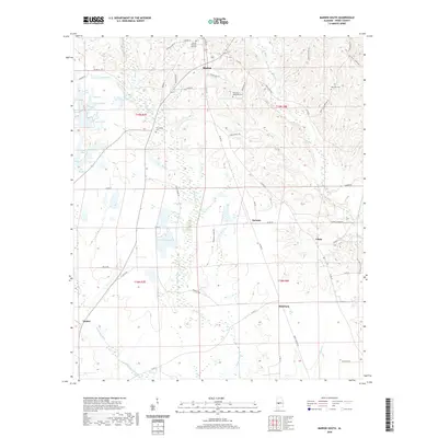
2020 Map of Marion South
USGS Topo · Published 2020About this map
Marion Military Institute anchors the northern portion of this landscape, situated just south of the historic center of Marion. The terrain transitions from the structured streets of the town into a mosaic of small lakes and winding creek bottoms to the south. Bogue Chitto Cr and Sand Cr meander through the central reaches, while numerous small bodies of water like Lake Will, Lake Eva, and Lake Heart dot the western edge near Vaiden.
Find a feature on this map
64 named features on this map. Tap any name to fly to it.
Don’t see what you’re looking for? This feature index may not catch every label — zoom into the map to look around manually.
Map Details
Editions of this 2020 Marion South Map
This is the sole edition of this map. No revisions or reprints were ever made.
Other maps of this area

1953 · Montgomery
USGS Topo · 1:250,000

1956 · Montgomery
USGS Topo · 1:250,000

1957 · Montgomery
USGS Topo · 1:250,000

1958 · Selma
USGS Topo · 1:62,500

1959 · Summerfield
USGS Topo · 1:62,500

1968 · Uniontown East
USGS Topo · 1:24,000

1968 · Browns
USGS Topo · 1:24,000

1975 · Selma NW
USGS Topo · 1:24,000

1975 · Summerfield SW
USGS Topo · 1:24,000

1979 · Marion North
USGS Topo · 1:24,000