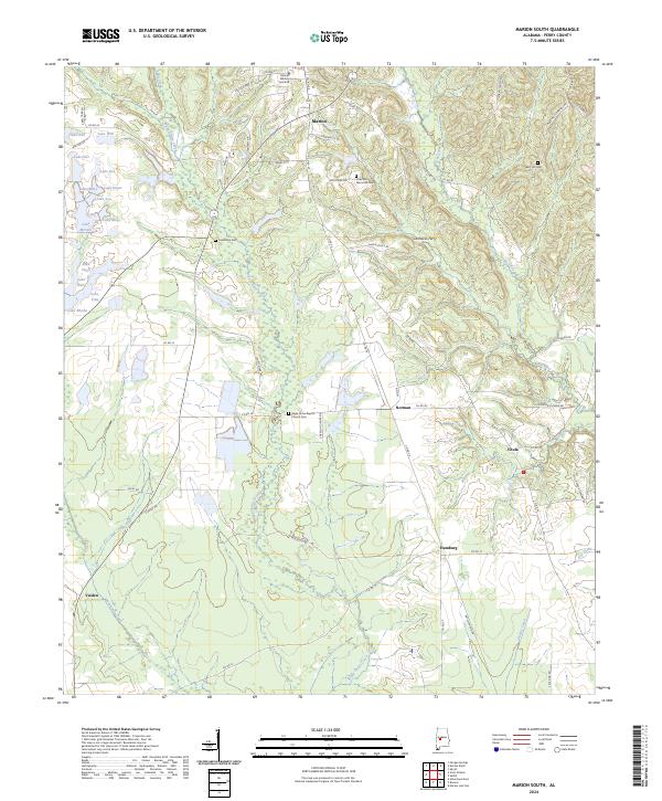
2024 Map of Marion South
USGS Topo · Published 2024About this map
The Marion Military Institute anchors the northern portion of this map, reflecting the deep educational and military history of Marion. This Perry County landscape is defined by the winding course of Bogue Chitto Creek, which bisects the region and creates a broad wetland corridor. Smaller settlements and agricultural hubs like Hamburg, Vilula, and Norman are connected by a network of county roads, showing a rural settlement pattern that persists today.
Find a feature on this map
69 named features on this map. Tap any name to fly to it.
Don’t see what you’re looking for? This feature index may not catch every label — zoom into the map to look around manually.
Map Details
Editions of this 2024 Marion South Map
This is the sole edition of this map. No revisions or reprints were ever made.
Other maps of this area

1953 · Montgomery
USGS Topo · 1:250,000

1956 · Montgomery
USGS Topo · 1:250,000

1957 · Montgomery
USGS Topo · 1:250,000

1958 · Selma
USGS Topo · 1:62,500

1959 · Summerfield
USGS Topo · 1:62,500

1968 · Uniontown East
USGS Topo · 1:24,000

1968 · Browns
USGS Topo · 1:24,000

1975 · Selma NW
USGS Topo · 1:24,000

1975 · Summerfield SW
USGS Topo · 1:24,000

1979 · Marion North
USGS Topo · 1:24,000