
1925 Map of Marion
USGS Topo · Published 1925About this map
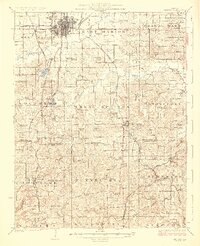
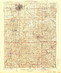
Marion sits at the heart of a dense transit nexus in the mid-1920s, serving as a hub for the Illinois Central, Missouri Pacific, and several other regional lines. The landscape to the south and east transitions from the urban grid of the county seat into a rugged terrain of ridges and valleys, where numerous small rural communities like Creal Springs and Goreville are linked by winding roads and steep rail grades. This era shows a society heavily invested in local institutions, evidenced by the high density of country schools and churches, such as the Mormon Church and Prairie Church, which served as the social anchors for farming families.
Find a feature on this map
109 named features on this map. Tap any name to fly to it.
Don’t see what you’re looking for? This feature index may not catch every label — zoom into the map to look around manually.
Map Details
Editions of this 1925 Marion Map
3 editions found
Other maps of this area

1908 · Galatia
USGS Topo · 1:62,500

1909 · West Frankfort
USGS Topo · 1:62,500

1910 · Herrin
USGS Topo · 1:62,500

1917 · Brownfield
USGS Topo · 1:62,500

1918 · Vienna
USGS Topo · 1:62,500

1919 · Vienna
USGS Topo · 1:62,500

1920 · Dongola
USGS Topo · 1:62,500

1922 · Carbondale
USGS Topo · 1:62,500

1923 · Dongola
USGS Topo · 1:62,500

1925 · Harrisburg
USGS Topo · 1:62,500