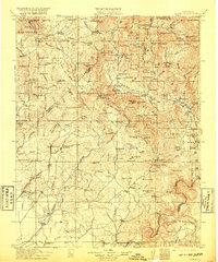
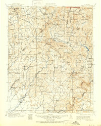
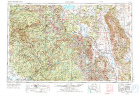
1912 Map of Mariposa
USGS Topo · Published 1920About this map
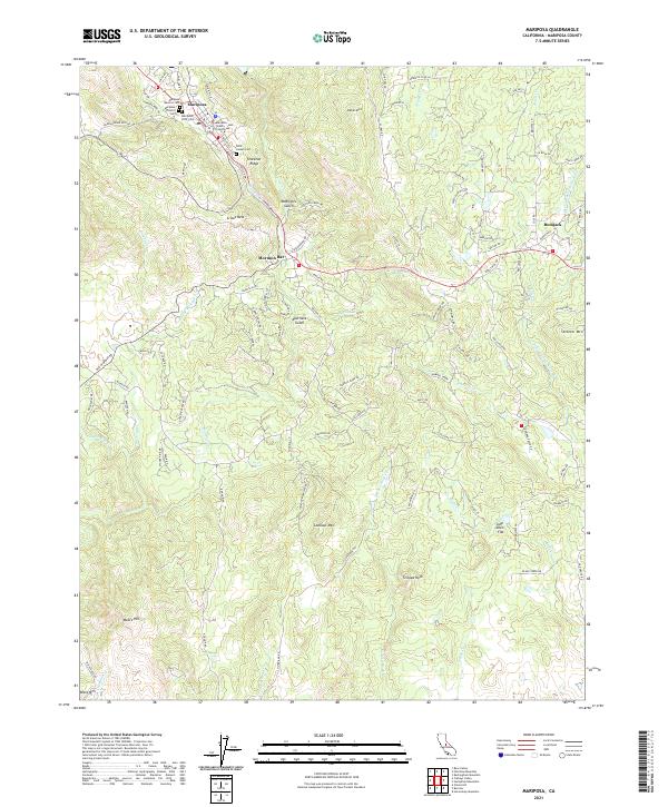
Mariposa and the surrounding Sierra Nevada foothills appear here during a period of intense resource extraction and early conservation. The landscape is heavily marked by the region's mining heritage, with sites such as the Buchanan Mine, Enterprise Mine, and the Trabuco Mines dotting the drainages of the Chowchilla River and Fresno River. The map highlights the early boundaries of Mariposa Grove Big Trees in Yosemite National Park, where the Summerdale post office and Happy Camp supported early tourism. Settlement patterns show a mix of established mining camps like Coarse Gold and Grub Gulch, and indigenous presence at the Picayune Indian Settlement. Transport is anchored by the Southern Pacific Railroad in the west, while high-altitude meadows such as Boggy Meadows and Kelty Meadow characterize the eastern wilderness before the full expansion of modern reservoirs.
Find a feature on this map
156 named features on this map. Tap any name to fly to it.
Don’t see what you’re looking for? This feature index may not catch every label — zoom into the map to look around manually.
Map Details
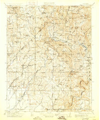
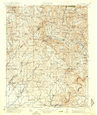
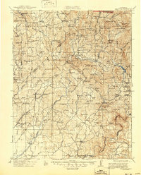
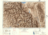
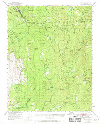
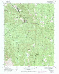
Editions of this 1912 Mariposa Map
6 editions found

Historical Maps of Oakhurst Through Time
11 maps found
1912 Mariposa
Mariposa County, CA
1947 Mariposa
Mariposa County, CA
1947 Mariposa
Mariposa County, CA
1947 Mariposa
Mariposa County, CA

1948 Mariposa
Mariposa County, CA
1957 Mariposa
Mariposa County, CA

1963 Mariposa
Mariposa County, CA
2012 Mariposa
Mariposa County, CA
2015 Mariposa
Mariposa County, CA
2018 Mariposa
Mariposa County, CA
2021 Mariposa
Mariposa County, CA