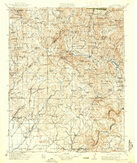
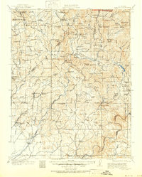
1912 Map of Mariposa
USGS Topo · Published 1938About this map
Mariposa Grove Big Trees Yosemite Natl Park marks the northeastern corner of this Sierra Nevada landscape, surveyed during the first decade of the 1900s. The region is defined by a dense network of mining operations and remote settlements, including Coarse Gold, Fresno Flats, and Happy Camp. Industrial markers like the Buchanan Mine, Texas Flat Mine, and a Marble Quarry near Knowles indicate a busy extraction economy operating alongside the Pacific railroad line.
Find a feature on this map
159 named features on this map. Tap any name to fly to it.
Don’t see what you’re looking for? This feature index may not catch every label — zoom into the map to look around manually.
Map Details
Editions of this 1912 Mariposa Map
6 editions found

Other maps of this area

1893 · Sonora
USGS Topo · 1:125,000

1896 · Sonora
USGS Topo · 1:125,000

1897 · Sonora
USGS Topo · 1:125,000

1897 · Yosemite
USGS Topo · 1:125,000

1898 · Sonora
USGS Topo · 1:125,000

1900 · Yosemite
USGS Topo · 1:125,000

1901 · Mt. Lyell
USGS Topo · 1:125,000

1903 · Yosemite
USGS Topo · 1:125,000

1904 · Kaiser
USGS Topo · 1:125,000

1909 · Yosemite
USGS Topo · 1:125,000