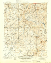
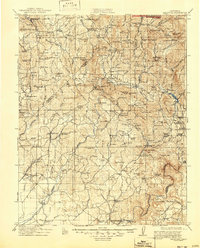
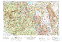
1912 Map of Mariposa
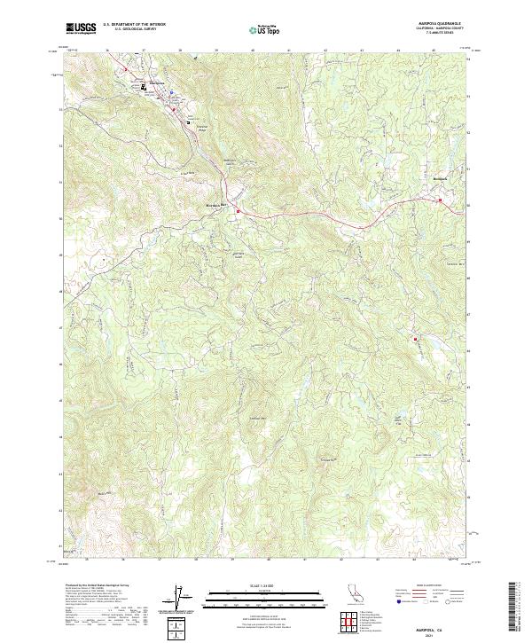
USGS Topo · Published 1951About this map
The Sierra Nevada foothills and the edge of Yosemite National Park define this landscape during the early twentieth century. Gold mining and timber operations are evident through features like the Lone Tree Mine, Texas Flat Mine, and the Marble Quarry near Knowles. The map captures an era when specialized schools, such as the Iron Mtn School and Chowchilla School, served remote ranching and mining families. Significant natural landmarks like the Mariposa Grove Big Trees stand alongside human developments including a Powerhouse and the Old Fort Miller site. The complex network of the Chowchilla River and Fresno River provided the water necessary for the region's flumes and settlements. Local commerce is anchored by centers like Coarse Gold and Raymond, while higher elevations include Fresno Dome and numerous summer grazing meadows.
Find a feature on this map
182 named features on this map. Tap any name to fly to it.
Don’t see what you’re looking for? This feature index may not catch every label — zoom into the map to look around manually.
Map Details
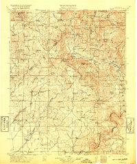
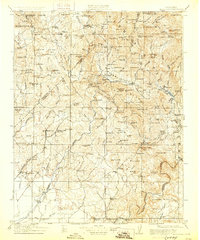
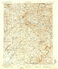
Editions of this 1912 Mariposa Map
6 editions found

Historical Maps of Oakhurst Through Time
11 maps found
1912 Mariposa
Mariposa County, CA
1947 Mariposa
Mariposa County, CA
1947 Mariposa
Mariposa County, CA
1947 Mariposa
Mariposa County, CA

1948 Mariposa
Mariposa County, CA
1957 Mariposa
Mariposa County, CA

1963 Mariposa
Mariposa County, CA
2012 Mariposa
Mariposa County, CA
2015 Mariposa
Mariposa County, CA
2018 Mariposa
Mariposa County, CA
2021 Mariposa
Mariposa County, CA