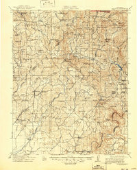
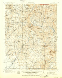
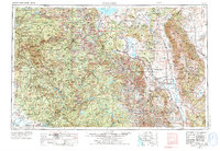
1912 Map of Mariposa
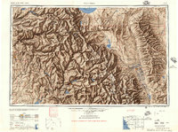
USGS Topo · Published 1947About this map
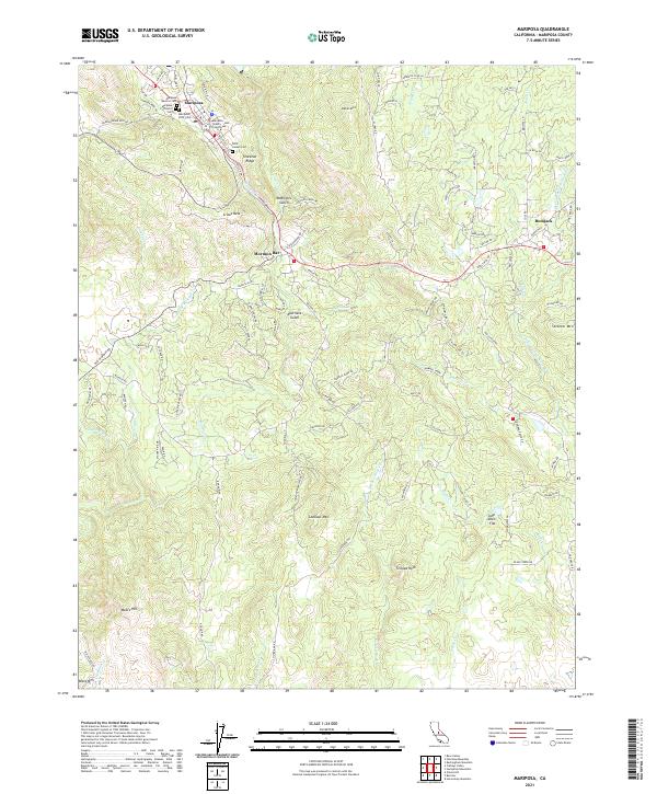
Las Mariposas and the surrounding Sierra foothills define this landscape during a period of active gold mining and early conservation. Surveyed in 1909 and 1910, the map records the industrial footprint of the region, from the Texas Flat Mine near Coarse Gold to the Standard Mine and various marble quarries. The settlement pattern reflects a mix of mining camps, ranching outposts like McFarland's Ranch, and an Indian Settlement on Fresno River.
Find a feature on this map
161 named features on this map. Tap any name to fly to it.
Don’t see what you’re looking for? This feature index may not catch every label — zoom into the map to look around manually.
Map Details
Editions of this 1912 Mariposa Map
6 editions found

Historical Maps of Oakhurst Through Time
11 maps found
1912 Mariposa
Mariposa County, CA
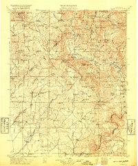
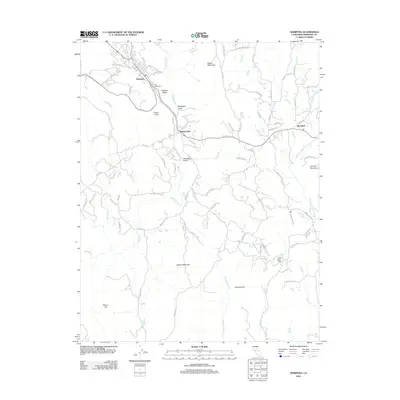
1947 Mariposa
Mariposa County, CA
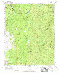
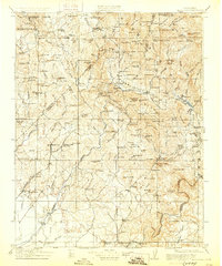
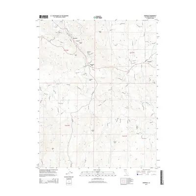
1947 Mariposa
Mariposa County, CA
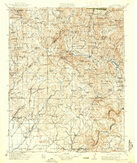
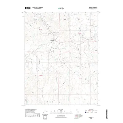
1947 Mariposa
Mariposa County, CA

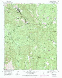
1948 Mariposa
Mariposa County, CA
1957 Mariposa
Mariposa County, CA

1963 Mariposa
Mariposa County, CA
2012 Mariposa
Mariposa County, CA
2015 Mariposa
Mariposa County, CA
2018 Mariposa
Mariposa County, CA
2021 Mariposa
Mariposa County, CA