
1912 Map of Mariposa
USGS Topo · Published 1912About this map
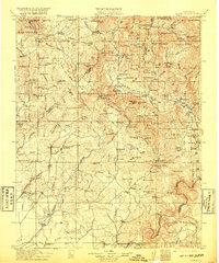
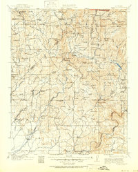
The Mariposa Grove Big Trees stand at the northeastern corner of this 1912 survey, signaling the transition from the high Sierras into a landscape of early 20th-century industry. The map illustrates a complex network of resource extraction and early settlement, where the Southern Pacific Railroad reaches into the foothills to connect with mining and timber hubs. Notable industrial sites like the Enterprise Mine, Quartz Mine, and Standard Mill are scattered among family ranches and community centers like Coarse Gold and Fresno Flats. This survey documents a critical period of infrastructure development, featuring the Crane Valley Reservoir and the Powerhouse, which indicate the early harnessed power of the San Joaquin River. For genealogists, the map is particularly dense with rural institutions, from the Indian Settlement to numerous local schools like the Chowchilla School and Oakvale School.
Find a feature on this map
168 named features on this map. Tap any name to fly to it.
Don’t see what you’re looking for? This feature index may not catch every label — zoom into the map to look around manually.
Map Details
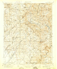
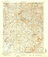
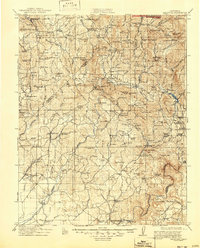
Editions of this 1912 Mariposa Map
6 editions found
Other maps of this area

1893 · Sonora
USGS Topo · 1:125,000

1896 · Sonora
USGS Topo · 1:125,000

1897 · Sonora
USGS Topo · 1:125,000

1897 · Yosemite
USGS Topo · 1:125,000

1898 · Sonora
USGS Topo · 1:125,000

1900 · Yosemite
USGS Topo · 1:125,000

1901 · Mt. Lyell
USGS Topo · 1:125,000

1903 · Yosemite
USGS Topo · 1:125,000

1904 · Kaiser
USGS Topo · 1:125,000

1909 · Yosemite
USGS Topo · 1:125,000