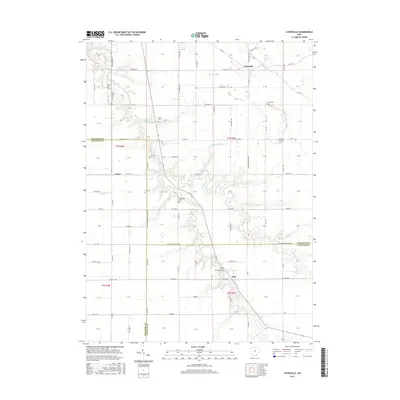
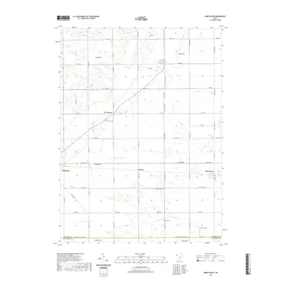
1961 Map of Mark Center
USGS Topo · Published 1973About this map
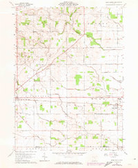
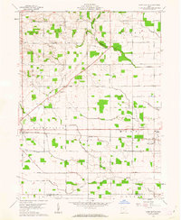
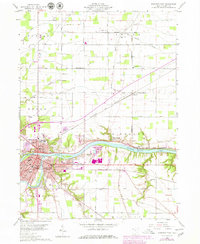
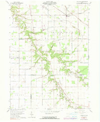
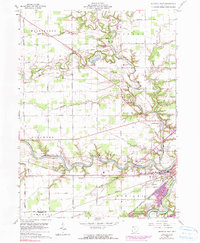
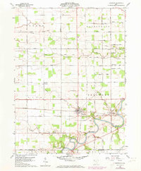
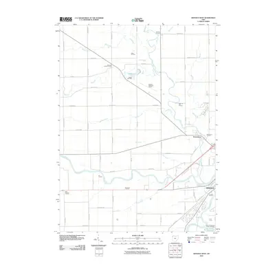
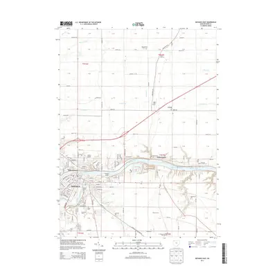
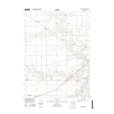
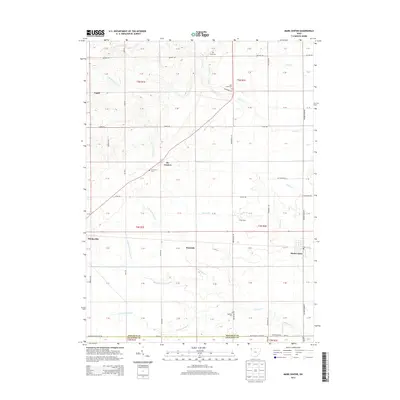
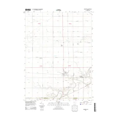
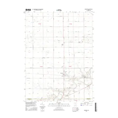
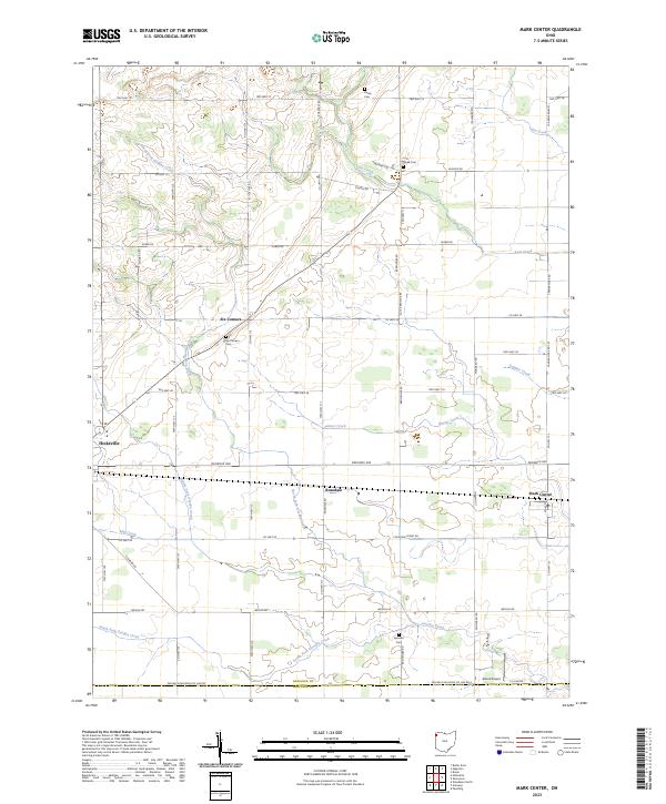
Hicksville anchors the western edge of this Defiance County landscape, where the Baltimore and Ohio railroad corridor forms a straight line through the agricultural heartland. The village of Mark Center serves as a local hub further east, notably housing the Township High Sch near the crossing of Platter Creek. The map reveals a highly structured rural grid defined by family-named routes such as Ensign Road and Kitterman Road, connecting vanished-feeling settlements like Six Corners and Rosedale.
Find a feature on this map
41 named features on this map. Tap any name to fly to it.
Don’t see what you’re looking for? This feature index may not catch every label — zoom into the map to look around manually.
Map Details
Editions of this 1961 Mark Center Map
2 editions found
Historical Maps of Hicksville Through Time
30 maps found
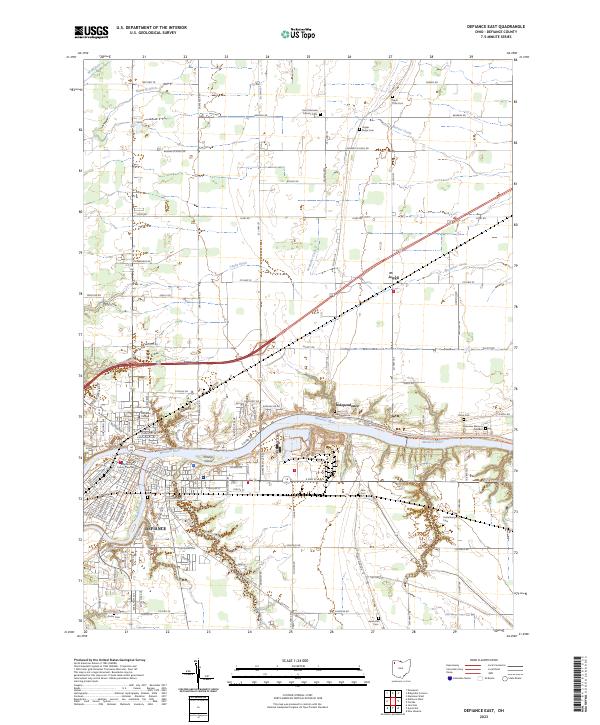
1959 Defiance East
Defiance County, OH
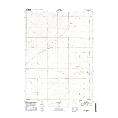
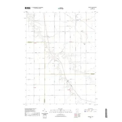
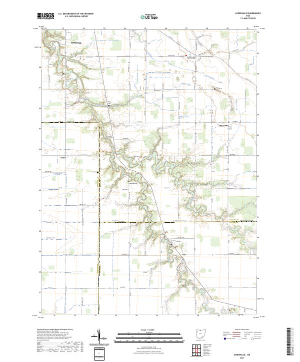
1960 Ayersville
Defiance County, OH
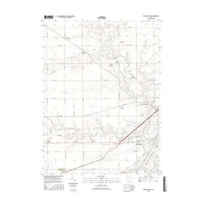
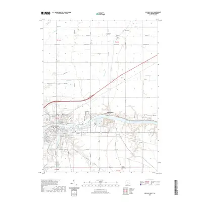
1960 Defiance West
Defiance County, OH
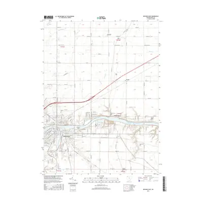
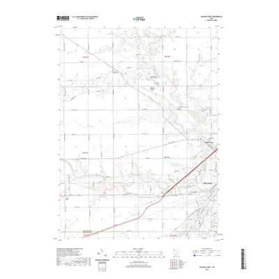
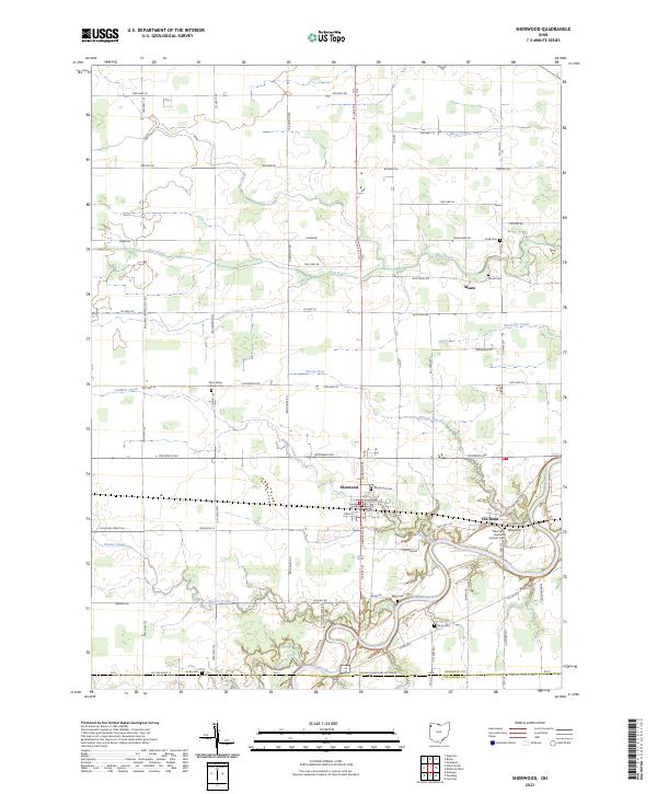
1960 Sherwood
Defiance County, OH
1961 Mark Center
Defiance County, OH
2010 Ayersville
Defiance County, OH
2010 Defiance East
Defiance County, OH
2010 Defiance West
Defiance County, OH
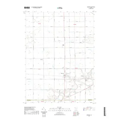
2010 Mark Center
Defiance County, OH
2010 Sherwood
Defiance County, OH
2013 Ayersville
Defiance County, OH
2013 Defiance East
Defiance County, OH
2013 Defiance West
Defiance County, OH
2013 Mark Center
Defiance County, OH
2013 Sherwood
Defiance County, OH
2016 Ayersville
Defiance County, OH
2016 Defiance East
Defiance County, OH
2016 Defiance West
Defiance County, OH
2016 Mark Center
Defiance County, OH
2016 Sherwood
Defiance County, OH
2019 Ayersville
Defiance County, OH
2019 Defiance East
Defiance County, OH
2019 Defiance West
Defiance County, OH
2019 Mark Center
Defiance County, OH
2019 Sherwood
Defiance County, OH
2023 Ayersville
Defiance County, OH
2023 Defiance East
Defiance County, OH
2023 Defiance West
Defiance County, OH
2023 Mark Center
Defiance County, OH
2023 Sherwood
Defiance County, OH
Featured Locations
- Milford Township, OH
- Farmer Township, OH
- Hicksville, Hicksville Township
- Rosedale, Hicksville Township
- Six Corners, Hicksville Township