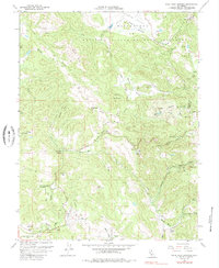
1958 Map of Mark West Springs
USGS Topo · Published 1985About this map
Mark West Springs and the surrounding Mayacamas Mountains are documented here during a period of mid-century transition in Sonoma County. This survey highlights the complex land grant history of the region, noting the Mallacomes Or Moristul Y Plan De Agua Caliente and Carne Humana Mexican land grants. The terrain is deeply textured with features like Devils Kitchen, Chalk Mtn, and the iconic Petrified Forest near the border of Sonoma and Napa counties.
Find a feature on this map
68 named features on this map. Tap any name to fly to it.
Don’t see what you’re looking for? This feature index may not catch every label — zoom into the map to look around manually.
Map Details
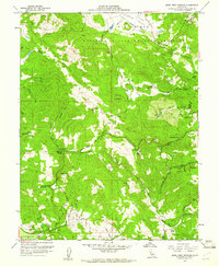
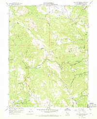
Editions of this 1958 Mark West Springs Map
3 editions found
Other maps of this area

1916 · Santa Rosa
USGS Topo · 1:62,500

1920 · Healdsburg
USGS Topo · 1:62,500

1927 · Calistoga
USGS Topo · 1:62,500

1933 · Healdsburg
USGS Topo · 1:48,000

1935 · Sebastopol
USGS Topo · 1:48,000

1940 · Healdsburg
USGS Topo · 1:62,500

1942 · Sebastopol
USGS Topo · 1:62,500

1943 · Calistoga
USGS Topo · 1:62,500

1944 · Santa Rosa
USGS Topo · 1:62,500

1945 · Calistoga
USGS Topo · 1:62,500