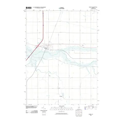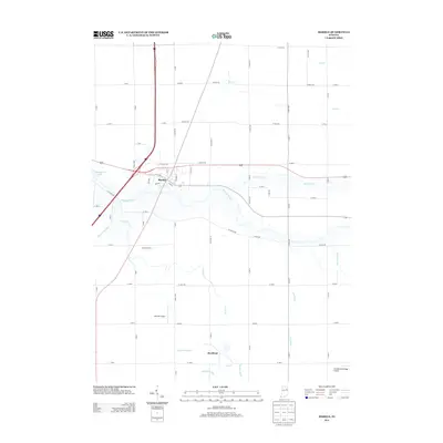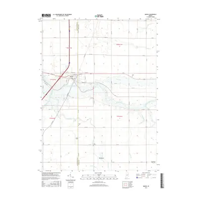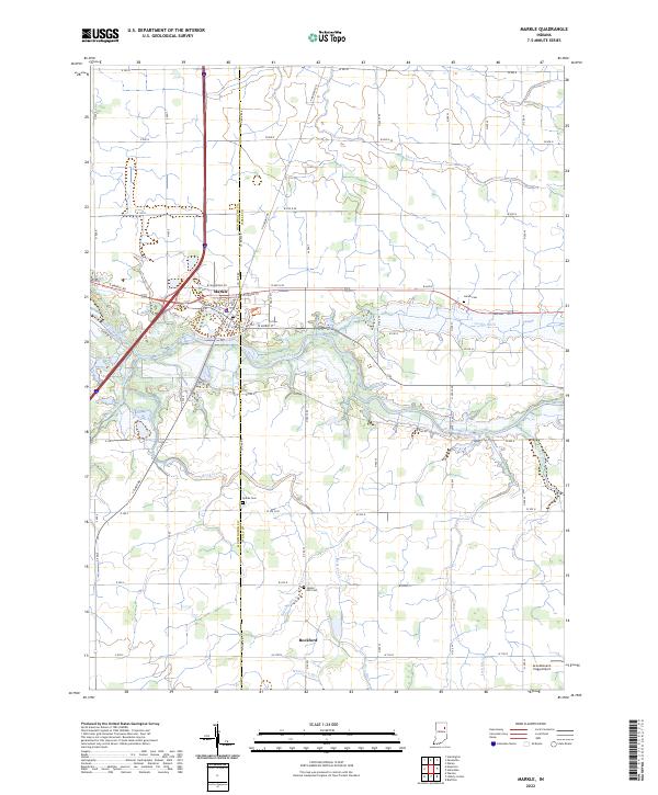
2022 Map of Markle
USGS Topo · Published 2022About this map
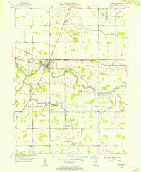
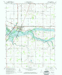
The town of Markle sits at the northern bend of the Wabash River, straddling the line between Huntington and Wells counties. This agricultural landscape is defined by an extensive drainage network, including the Griffin Ditch and Rock Creek, which supported the development of small rural hubs like Rockford. Local genealogy is anchored by several long-standing burial grounds such as Horeb Cem, Sparks Cem, and Spider Hill Cem, often situated near the family farms they served. The transition from traditional river-valley settlement to modern infrastructure is evident in the layout of the town streets like E Logan St and the presence of the Grandlienard-Hogg Airport to the southeast, providing a clear record of the region's 21st-century spatial organization.
Find a feature on this map
69 named features on this map. Tap any name to fly to it.
Don’t see what you’re looking for? This feature index may not catch every label — zoom into the map to look around manually.
Map Details
Editions of this 2022 Markle Map
This is the sole edition of this map. No revisions or reprints were ever made.
Historical Maps of Rockford Through Time
7 maps found