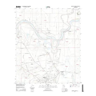
2015 Map of Marksville North
USGS Topo · Published 2015About this map
Marksville serves as the focal point of this survey, where the street grid meets the complex alluvial landscape of the Red River basin. The area is characterized by a dense network of water bodies, including the Saline Cutoff, Lac de Johnson, and the winding Spring Bayou, which define the local topography. This region, known as the Prairie des Avoyelles, reflects a long history of human presence through its numerous family and parish burial sites, such as Cushman Cem, Bordelon Cem, and Fort Derussy Cem. Smaller settlements like Brouillette and Vick are scattered along the riverbanks and secondary roads, while Spring Bayou Landing marks a traditional point of access to the water. The map provides a detailed view of how the land has been subdivided into various townships, such as t3n r4e, illustrating the intersection of civil boundaries and the natural curves of the Louisiana bayous.
Find a feature on this map
118 named features on this map. Tap any name to fly to it.
Don’t see what you’re looking for? This feature index may not catch every label — zoom into the map to look around manually.
Map Details
Editions of this 2015 Marksville North Map
This is the sole edition of this map. No revisions or reprints were ever made.
Other maps of this area

1935 · Tooleys
USGS Topo · 1:62,500

1940 · Marksville
USGS Topo · 1:62,500

1941 · Voorhies
USGS Topo · 1:62,500

1941 · Buckeye
USGS Topo · 1:62,500

1941 · Tooleys
USGS Topo · 1:62,500

1953 · Alexandria
USGS Topo · 1:250,000

1953 · Natchez
USGS Topo · 1:250,000

1955 · Alexandria
USGS Topo · 1:250,000

1956 · Natchez
USGS Topo · 1:250,000

1959 · Natchez
USGS Topo · 1:250,000