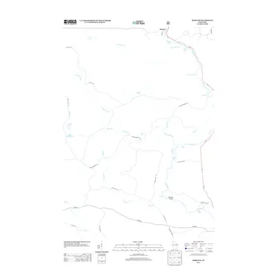
2013 Map of Markton
USGS Topo · Published 2013About this map
Markton sits at the northern edge of this landscape, where the Wolf River begins a descent defined by a remarkable sequence of named whitewater features. The river’s course is punctuated by evocative landmarks such as Gilmores Mistake Rapids, Shotgun Eddy Rapids, and Burnt Shanty Rapids, reflecting a history of river navigation and local lore. Further south, the waterway transitions into a series of significant drops, including Sullivan Falls and Ducknest Falls, before reaching the notable geographic feature of The Dalles and the Saturday Islands.
Find a feature on this map
36 named features on this map. Tap any name to fly to it.
Don’t see what you’re looking for? This feature index may not catch every label — zoom into the map to look around manually.
Map Details
Editions of this 2013 Markton Map
This is the sole edition of this map. No revisions or reprints were ever made.
Other maps of this area

1952 · White Lake
USGS Topo · 1:48,000

1952 · Langlade
USGS Topo · 1:48,000

1954 · Gresham
USGS Topo · 1:48,000

1954 · Shawano
USGS Topo · 1:48,000

1954 · Iron Mountain
USGS Topo · 1:250,000

1955 · Green Bay
USGS Topo · 1:250,000

1959 · Iron Mountain
USGS Topo · 1:250,000

1964 · Shawano
USGS Topo · 1:62,500

1964 · Gresham
USGS Topo · 1:62,500
1973 · Langlade
USGS Topo · 1:24,000