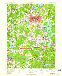
1953 Map of Marlboro
USGS Topo · Published 1960About this map
The industrial and institutional landscape of eastern Massachusetts is well-defined in this 1950s study, where the city of Marlboro serves as the primary hub. The map captures a moment of infrastructure expansion, showing the Massachusetts Turnpike cutting across the landscape just as it was being integrated into the existing rail network of the Boston and Albany and the New York New Haven and Hartford railroads. Large institutional footprints such as the Westborough State Hospital and Marlboro Hospital anchor their respective towns, while the sprawling grounds of St Marks Sch characterize the educational legacy of Southboro. To the south and west, the terrain is dominated by the Assabet River and the Sudbury River, which feed into major impoundments like the Fort Meadow Reservoir and Hopkinton Reservoir. The area is notably hilly, with numerous named peaks such as Ockoocanganset Hill and Shoestring Hill rising between established village centers like Fayville and Cordaville.
Find a feature on this map
84 named features on this map. Tap any name to fly to it.
Don’t see what you’re looking for? This feature index may not catch every label — zoom into the map to look around manually.
Map Details
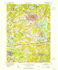
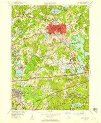
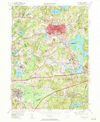
Editions of this 1953 Marlboro Map
4 editions found
Other maps of this area

1886 · Blackstone
USGS Topo · 1:62,500

1886 · Framingham
USGS Topo · 1:62,500

1887 · Franklin
USGS Topo · 1:62,500

1887 · Marlboro
USGS Topo · 1:62,500

1889 · Marlboro
USGS Topo · 1:62,500

1889 · Blackstone
USGS Topo · 1:62,500

1889 · Franklin
USGS Topo · 1:62,500

1889 · Framingham
USGS Topo · 1:62,500

1893 · Franklin
USGS Topo · 1:62,500

1893 · Blackstone
USGS Topo · 1:62,500