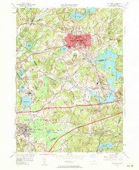
1953 Map of Marlboro
USGS Topo · Published 1960About this map
The Marlboro urban core and surrounding hills define this 1953 landscape, which is marked by the significant infrastructure of central Massachusetts. The map captures the region's complex water management system, dominated by the Fort Meadow Reservoir and the expansive Sudbury Reservoir. These reservoirs, along with the Assabet River, shaped the development of settlements like Southboro, Westboro, and Fayville. Institutional landmarks of the era are prominent, including the sprawling Westborough State Hospital and prestigious academic sites like St Mark's Sch.
Find a feature on this map
77 named features on this map. Tap any name to fly to it.
Don’t see what you’re looking for? This feature index may not catch every label — zoom into the map to look around manually.
Map Details
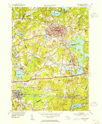
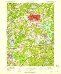
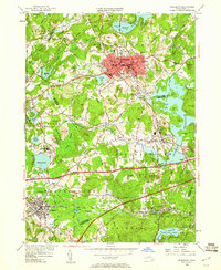
Editions of this 1953 Marlboro Map
4 editions found
Other maps of this area

1886 · Blackstone
USGS Topo · 1:62,500

1886 · Framingham
USGS Topo · 1:62,500

1887 · Franklin
USGS Topo · 1:62,500

1887 · Marlboro
USGS Topo · 1:62,500

1889 · Marlboro
USGS Topo · 1:62,500

1889 · Blackstone
USGS Topo · 1:62,500

1889 · Franklin
USGS Topo · 1:62,500

1889 · Framingham
USGS Topo · 1:62,500

1893 · Franklin
USGS Topo · 1:62,500

1893 · Blackstone
USGS Topo · 1:62,500