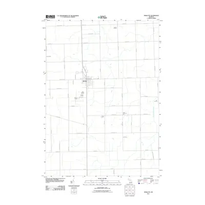
2011 Map of Marlette
USGS Topo · Published 2011About this map
The agricultural landscape of Sanilac County is anchored by the community of Marlette, shown here as a structured hub of local services and transport. Centered on the intersection of Marlette St and Lamotte St, the settlement provides essential regional infrastructure including the Marlette Post Office and the Marlette Airport to the south. The surrounding countryside is defined by a rigorous grid of section-line roads, such as Frenchline Rd and Mayville Rd, which connect far-flung rural properties and family landmarks.
Find a feature on this map
54 named features on this map. Tap any name to fly to it.
Don’t see what you’re looking for? This feature index may not catch every label — zoom into the map to look around manually.
Map Details
Editions of this 2011 Marlette Map
This is the sole edition of this map. No revisions or reprints were ever made.
Other maps of this area

1954 · Flint
USGS Topo · 1:250,000

1958 · Flint
USGS Topo · 1:250,000

1961 · Brown City
USGS Topo · 1:24,000

1963 · Snover
USGS Topo · 1:24,000

1963 · Clifford
USGS Topo · 1:24,000

1963 · Juhl
USGS Topo · 1:24,000

1963 · Marlette
USGS Topo · 1:24,000

1963 · North Branch
USGS Topo · 1:24,000

1963 · Kingston
USGS Topo · 1:24,000

1963 · Burnside
USGS Topo · 1:24,000