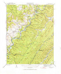
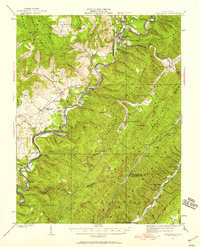
1923 Map of Marlinton
USGS Topo · Published 1971About this map
The Marlinton area of the early 1920s is defined by the winding course of the Greenbrier River and the timber economy driving the region. The Chesapeake and Ohio RR follows the riverbanks, connecting small communities like Beard, Seebert, and Denmar. The map captures several specialized industrial rail lines extending into the surrounding slopes of Cranberry Mountain and Marlin Mountain, including the Stillhouse Lumber RR and the Douthat Lumber RR.
Find a feature on this map
135 named features on this map. Tap any name to fly to it.
Don’t see what you’re looking for? This feature index may not catch every label — zoom into the map to look around manually.
Map Details
Editions of this 1923 Marlinton Map
6 editions found

Other maps of this area

1887 · Lewisburg
USGS Topo · 1:125,000

1891 · Lewisburg
USGS Topo · 1:125,000

1891 · Huntersville
USGS Topo · 1:125,000

1894 · Huntersville
USGS Topo · 1:125,000

1894 · Natural Bridge
USGS Topo · 1:125,000

1901 · Monterey
USGS Topo · 1:125,000

1915 · Webster Springs
USGS Topo · 1:48,000

1918 · Webster Springs
USGS Topo · 1:62,500

1921 · Callaghan
USGS Topo · 1:48,000

1921 · White Sulphur Springs
USGS Topo · 1:48,000