
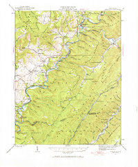
1923 Map of Marlinton
USGS Topo · Published 1923About this map
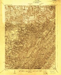
Marlinton serves as the focal point for this survey of the West Virginia highlands, where the Greenbrier River carves through a landscape of high ridges and narrow valleys. The 1920s economy of the region is clearly etched in the infrastructure, defined by the Chesapeake and Ohio RR following the riverbanks and a specialized Timber RR winding through the eastern slopes of Huntersville Mountain. The map reveals a high density of rural institutions, such as Riverside School and Marvin Chapel, serving decentralized communities like Hillsboro and Buckeye. Land use patterns vary from the rugged timber-heavy slopes to the more open Little Levels, where numerous family-named schools and post offices like Locust PO show the era's reliance on localized rural centers.
Find a feature on this map
135 named features on this map. Tap any name to fly to it.
Don’t see what you’re looking for? This feature index may not catch every label — zoom into the map to look around manually.
Map Details
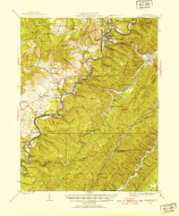
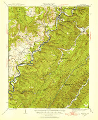
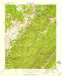
Editions of this 1923 Marlinton Map
6 editions found
Other maps of this area

1887 · Lewisburg
USGS Topo · 1:125,000

1891 · Lewisburg
USGS Topo · 1:125,000

1891 · Huntersville
USGS Topo · 1:125,000

1894 · Huntersville
USGS Topo · 1:125,000

1894 · Natural Bridge
USGS Topo · 1:125,000

1901 · Monterey
USGS Topo · 1:125,000

1915 · Webster Springs
USGS Topo · 1:48,000

1918 · Webster Springs
USGS Topo · 1:62,500

1921 · Callaghan
USGS Topo · 1:48,000

1921 · White Sulphur Springs
USGS Topo · 1:48,000