
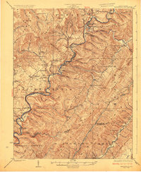
1925 Map of Marlinton
USGS Topo · Published 1925About this map
Marlinton serves as a focal point in this 1923 survey, situated where Knapp Creek joins the Greenbrier River. The landscape is defined by the heavy presence of the Chesapeake and Ohio railroad corridor, which follows the river's winding path through the Little Levels region. This valley area is notably dense with community infrastructure for the era, featuring a high concentration of country schools like Grimes School and Helvetia School, alongside spiritual centers such as Trinity Church and Pleasant Grove Church.
Find a feature on this map
90 named features on this map. Tap any name to fly to it.
Don’t see what you’re looking for? This feature index may not catch every label — zoom into the map to look around manually.
Map Details
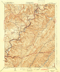
Editions of this 1925 Marlinton Map
3 editions found
Other maps of this area

1887 · Lewisburg
USGS Topo · 1:125,000

1891 · Lewisburg
USGS Topo · 1:125,000

1891 · Huntersville
USGS Topo · 1:125,000

1894 · Huntersville
USGS Topo · 1:125,000

1894 · Natural Bridge
USGS Topo · 1:125,000

1901 · Monterey
USGS Topo · 1:125,000

1915 · Webster Springs
USGS Topo · 1:48,000

1918 · Webster Springs
USGS Topo · 1:62,500

1921 · Callaghan
USGS Topo · 1:48,000

1921 · White Sulphur Springs
USGS Topo · 1:48,000