
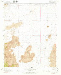
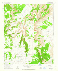
1961 Map of Marmon Ranch
USGS Topo · Published 1963About this map
The Laguna Indian Reservation defines the northern reaches of this high-desert landscape, where volcanic geology and water management shape the pattern of human activity. Massive fields of Lava flow across the terrain, notably at Middle Tsidu-Weza and near the prominent Petaca Butte. These rocky formations are interspersed with narrow canyons and seasonal drainages such as Cold Canyon and Arroyo Colorado.
Find a feature on this map
27 named features on this map. Tap any name to fly to it.
Don’t see what you’re looking for? This feature index may not catch every label — zoom into the map to look around manually.
Map Details
Editions of this 1961 Marmon Ranch Map
2 editions found
Other maps of this area

1917 · Cerro Verde
USGS Topo · 1:125,000

1917 · Broom Mountain
USGS Topo · 1:125,000

1954 · Socorro
USGS Topo · 1:250,000

1958 · Socorro
USGS Topo · 1:250,000
1960 · South Butte
USGS Topo · 1:24,000
1960 · Dough Mountain
USGS Topo · 1:24,000

1960 · Cerro Verde
USGS Topo · 1:24,000
1961 · Acoma Pueblo
USGS Topo · 1:24,000
1961 · East Mesa
USGS Topo · 1:24,000

1962 · Socorro
USGS Topo · 1:250,000