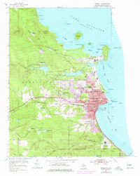
1954 Map of Marquette
USGS Topo · Published 1977About this map
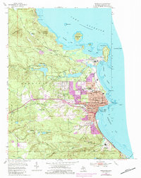
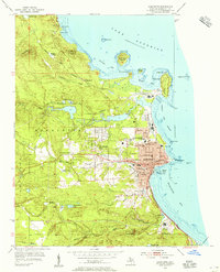
The city of Marquette dominates this Lake Superior shoreline in the mid-1970s, serving as a critical rail and maritime hub for the Upper Peninsula. Two major rail systems, the Lake Superior and Ishpeming and the Duluth South Shore and Atlantic, converge at the Harbor Basin, showing the industrial backbone of the region's mineral trade. Notable civic and educational institutions anchor the urban grid, including Northern Michigan College, Graveraet High Sch, and the Marquette State Prison on the southern edge near the Carp River. To the north, the distinctive peninsula of Presque Isle creates a natural shelter for Marquette Bay, while the rugged interior is marked by Hogback Mountain and Mount Mesnard. This edition highlights urban expansion through purple-tinted updates, particularly around Trowbridge Park and along the Dead River.
Find a feature on this map
74 named features on this map. Tap any name to fly to it.
Don’t see what you’re looking for? This feature index may not catch every label — zoom into the map to look around manually.
Map Details
Editions of this 1954 Marquette Map
6 editions found
Other maps of this area

1907 · Marquette
USGS Topo · 1:62,500

1932 · Harvey NW
USGS Topo · 1:31,680

1932 · Harvey NE
USGS Topo · 1:31,680

1952 · Sands
USGS Topo · 1:24,000

1952 · Ishpeming
USGS Topo · 1:62,500

1952 · Gwinn
USGS Topo · 1:62,500

1952 · Palmer
USGS Topo · 1:24,000

1953 · Marquette NW
USGS Topo · 1:24,000

1953 · Negaunee
USGS Topo · 1:24,000
1954 · Marquette
USGS Topo · 1:24,000
Featured Places
- Marquette, MI
- Trowbridge Park, MI
- Negaunee Township, MI
- Brookton Corners, Marquette
- Marquette Township, MI