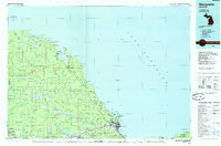
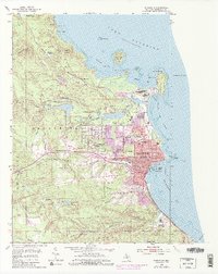
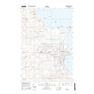
1985 Map of Marquette
USGS Topo · Published 1985About this map
Marquette and the neighboring iron ore centers of Ishpeming and Negaunee anchor the southern edge of this mid-1980s landscape. The map illustrates the industrial and institutional footprint of the region, from the Soo Line and Ls&I railroads serving the mines to the sprawling grounds of the Marquette State Prison and Northern Michigan University. Along the coast of Lake Superior, the city is framed by landmarks like Presque Isle Park and Lighthouse Point, while the interior shows the extensive water management of the Silver Lake Basin and Dead River.
Find a feature on this map
131 named features on this map. Tap any name to fly to it.
Don’t see what you’re looking for? This feature index may not catch every label — zoom into the map to look around manually.
Map Details
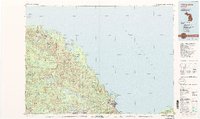
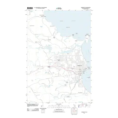
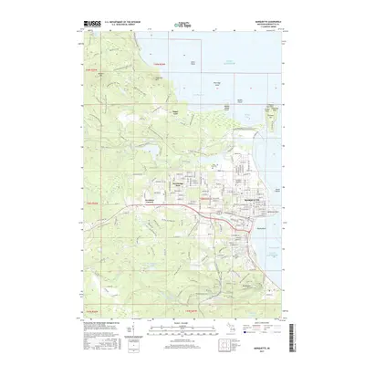
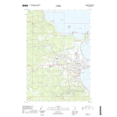
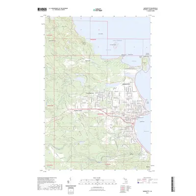
Editions of this 1985 Marquette Map
3 editions found
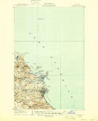
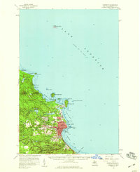
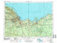
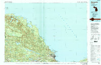
Historical Maps of Marquette Through Time
13 maps found
1907 Marquette
Marquette County, MI
1954 Marquette
Marquette County, MI
1954 Marquette
Marquette County, MI
1958 Marquette
Marquette County, MI

1960 Marquette
Marquette County, MI

1961 Marquette
Marquette County, MI

1968 Marquette
Marquette County, MI
1985 Marquette
Marquette County, MI
2011 Marquette
Marquette County, MI
2014 Marquette
Marquette County, MI
2017 Marquette
Marquette County, MI
2019 Marquette
Marquette County, MI
2023 Marquette
Marquette County, MI
Featured Locations
- Negaunee, MI
- Ishpeming, MI
- Marquette, MI
- Trowbridge Park, Marquette Township
- Champion, Champion Township