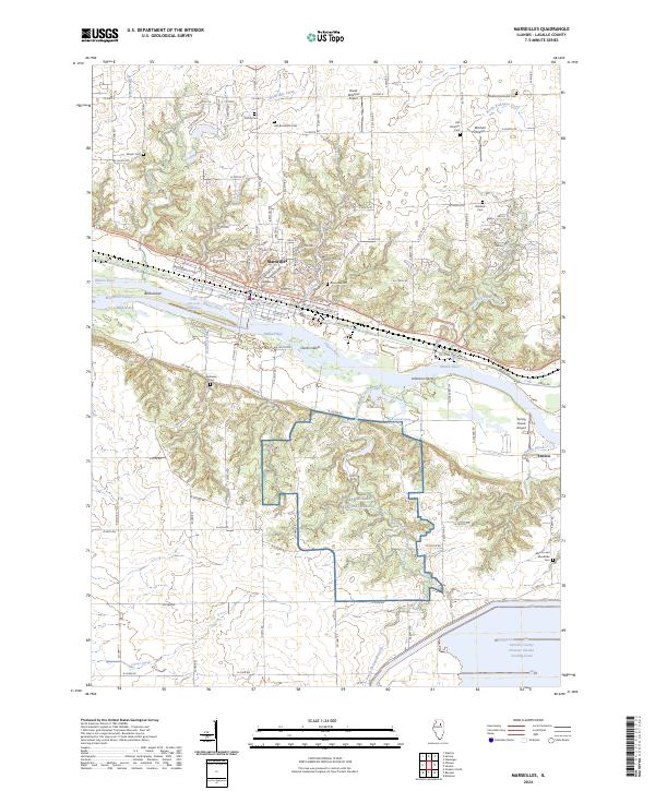
2024 Map of Marseilles
USGS Topo · Published 2024About this map
The Illinois River corridor dominates this LaSalle County landscape, where industrial infrastructure and military training grounds meet the natural geography of the Illinois Valley. At Marseilles, the river features the Great Falls of the Illinois River and the engineered Marseilles Canal, which bypasses the natural falls to support navigation. This area was a critical point of development for the CSX Transportation rail lines and the historical I&M Canal route.
Find a feature on this map
119 named features on this map. Tap any name to fly to it.
Don’t see what you’re looking for? This feature index may not catch every label — zoom into the map to look around manually.
Map Details
Editions of this 2024 Marseilles Map
This is the sole edition of this map. No revisions or reprints were ever made.
Other maps of this area

1892 · Marseilles
USGS Topo · 1:62,500

1892 · Ottawa
USGS Topo · 1:62,500

1915 · Ottawa
USGS Topo · 1:62,500

1916 · Marseilles
USGS Topo · 1:62,500

1925 · Streator
USGS Topo · 1:62,500

1927 · Streator
USGS Topo · 1:62,500

1940 · Marseilles
USGS Topo · 1:62,500

1946 · Ottawa
USGS Topo · 1:62,500

1958 · Odell
USGS Topo · 1:62,500

1958 · Aurora
USGS Topo · 1:250,000