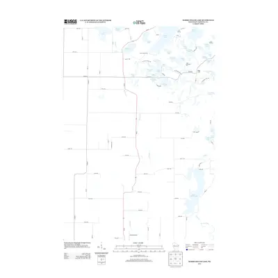
2013 Map of Marsh-Miller Lake
USGS Topo · Published 2013About this map
Marsh-Miller Lake and a dense cluster of smaller kettle lakes define this glaciated landscape in Chippewa County. The northern section of the map reveals a high concentration of recreational camps, including Camp Manitou, Camp Norwesco, and Camp Pokonokah Hills, clustered near Long Lake and Two Island Lake. The terrain is characterized by these water bodies and named high points such as Pikes Peak, which overlook the complex shoreline of Camp Chippewa Bay.
Find a feature on this map
80 named features on this map. Tap any name to fly to it.
Don’t see what you’re looking for? This feature index may not catch every label — zoom into the map to look around manually.
Map Details
Editions of this 2013 Marsh-Miller Lake Map
This is the sole edition of this map. No revisions or reprints were ever made.
Other maps of this area

1948 · Weyerhauser
USGS Topo · 1:48,000

1949 · Bloomer
USGS Topo · 1:62,500

1949 · New Auburn
USGS Topo · 1:62,500

1950 · Weyerhauser
USGS Topo · 1:48,000

1951 · Bloomer
USGS Topo · 1:62,500

1951 · New Auburn
USGS Topo · 1:62,500

1951 · Chetek
USGS Topo · 1:62,500

1953 · Rice Lake
USGS Topo · 1:250,000

1959 · Rice Lake
USGS Topo · 1:250,000
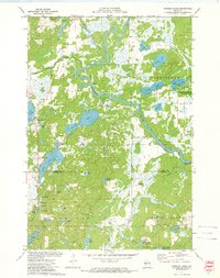
1972 · Fireside Lakes
USGS Topo · 1:24,000