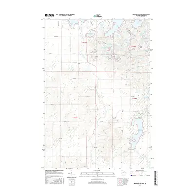
2015 Map of Marsh-Miller Lake
USGS Topo · Published 2015About this map
Glacial topography defines this corner of Chippewa County, where dozens of kettle lakes and potholes pockmark the landscape north of Marsh-Miller Lake. The Ice Age National Scenic Trail winds through the central portion of the map, traversing a complex system of water bodies including Salisbury Lake, Larrabee Lake, and the uniquely named Ace-In-The-Hole Lake. This terrain, shaped by ancient ice movements, features localized high points such as Pikes Peak and is drained by the meandering McCann Cr and O'Neil Cr.
Find a feature on this map
84 named features on this map. Tap any name to fly to it.
Don’t see what you’re looking for? This feature index may not catch every label — zoom into the map to look around manually.
Map Details
Editions of this 2015 Marsh-Miller Lake Map
This is the sole edition of this map. No revisions or reprints were ever made.
Other maps of this area

1948 · Weyerhauser
USGS Topo · 1:48,000

1949 · Bloomer
USGS Topo · 1:62,500

1949 · New Auburn
USGS Topo · 1:62,500

1950 · Weyerhauser
USGS Topo · 1:48,000

1951 · Bloomer
USGS Topo · 1:62,500

1951 · New Auburn
USGS Topo · 1:62,500

1951 · Chetek
USGS Topo · 1:62,500

1953 · Rice Lake
USGS Topo · 1:250,000

1959 · Rice Lake
USGS Topo · 1:250,000
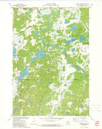
1972 · Fireside Lakes
USGS Topo · 1:24,000