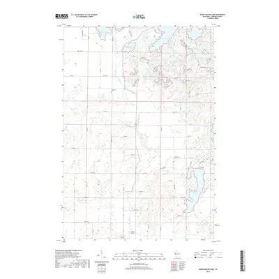
2018 Map of Marsh-Miller Lake
USGS Topo · Published 2018About this map
Marsh-Miller Lake and a dense cluster of glacial kettle lakes define this portion of Chippewa County, where the landscape is carved by seasonal drainages like McCann Cr and O'Neil Creek. The 2018 survey reveals a terrain shaped by its geological past, notably highlighted by the passage of the Ice Age National Scenic Trail through the northern woods near Salisbury Lake and North Shattuck Lake.
Find a feature on this map
74 named features on this map. Tap any name to fly to it.
Don’t see what you’re looking for? This feature index may not catch every label — zoom into the map to look around manually.
Map Details
Editions of this 2018 Marsh-Miller Lake Map
This is the sole edition of this map. No revisions or reprints were ever made.
Other maps of this area

1948 · Weyerhauser
USGS Topo · 1:48,000

1949 · Bloomer
USGS Topo · 1:62,500

1949 · New Auburn
USGS Topo · 1:62,500

1950 · Weyerhauser
USGS Topo · 1:48,000

1951 · Bloomer
USGS Topo · 1:62,500

1951 · New Auburn
USGS Topo · 1:62,500

1951 · Chetek
USGS Topo · 1:62,500

1953 · Rice Lake
USGS Topo · 1:250,000

1959 · Rice Lake
USGS Topo · 1:250,000
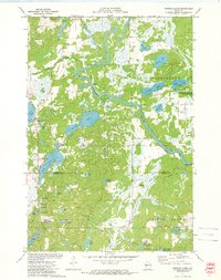
1972 · Fireside Lakes
USGS Topo · 1:24,000