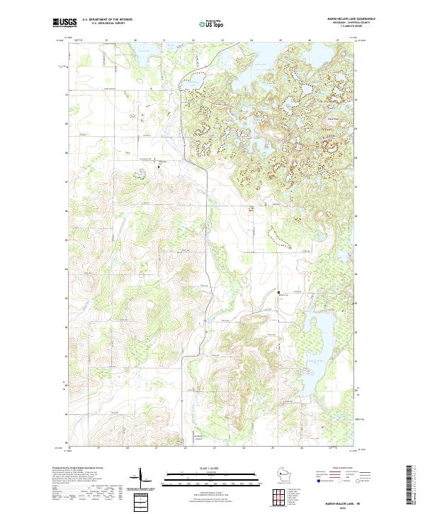
2022 Map of Marsh-Miller Lake
USGS Topo · Published 2022About this map
Marsh-Miller Lake dominates the southern landscape of this Chippewa County region, its irregular shoreline fed by O'Neil Creek and the meandering path of McCann Cr. The northern reaches are defined by a dense concentration of glacial kettle lakes, including Long Lake, Salisbury Lake, and the uniquely named Ace-In-The-Hole Lake. This glaciated topography is further highlighted by the presence of the Ice Age National Scenic Trl, which winds through the cluster of water bodies near Pikes Peak. Local genealogy is anchored by the Tillinghast Cem and Rufledt Cem, which sit amidst a grid of rural roads such as Tillinghast Rd and Co Hwy M. The presence of Gateway Airport near the southern boundary and names like Fur Farm Lake suggest a landscape balancing recreational use, rural transit, and historical land-use patterns typical of northwestern Wisconsin.
Find a feature on this map
80 named features on this map. Tap any name to fly to it.
Don’t see what you’re looking for? This feature index may not catch every label — zoom into the map to look around manually.
Map Details
Editions of this 2022 Marsh-Miller Lake Map
This is the sole edition of this map. No revisions or reprints were ever made.
Historical Maps of Sampson Through Time
18 maps found
1972 Albertville
Chippewa County, WI
1973 Colburn
Chippewa County, WI
1973 Crescent
Chippewa County, WI
1973 Huron
Chippewa County, WI
1973 Ruby
Chippewa County, WI
1975 Bob Lake
Chippewa County, WI
1975 Como Creek
Chippewa County, WI
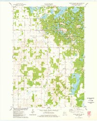
1975 Marsh-Miller Lake
Chippewa County, WI
1976 Cadott NE
Chippewa County, WI
1976 Stanley NW
Chippewa County, WI
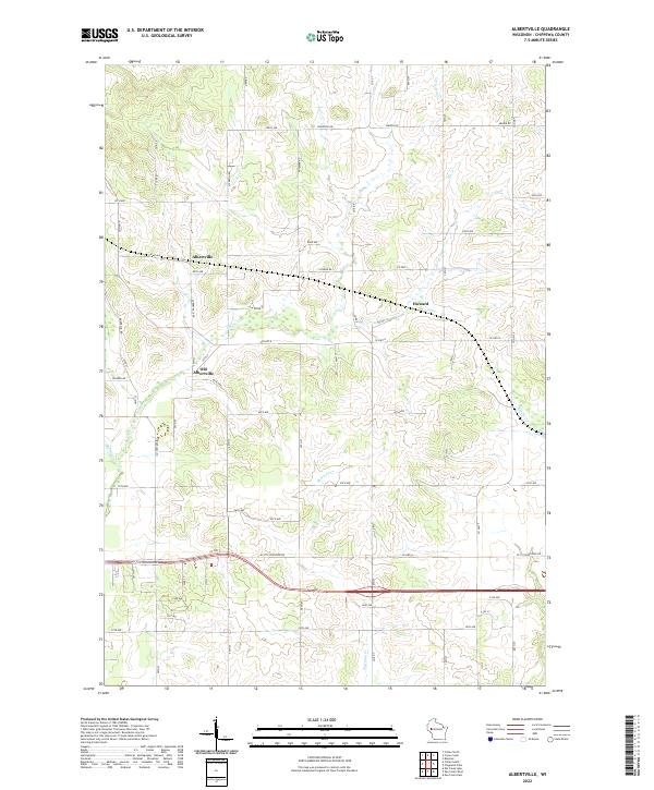
2022 Albertville
Chippewa County, WI
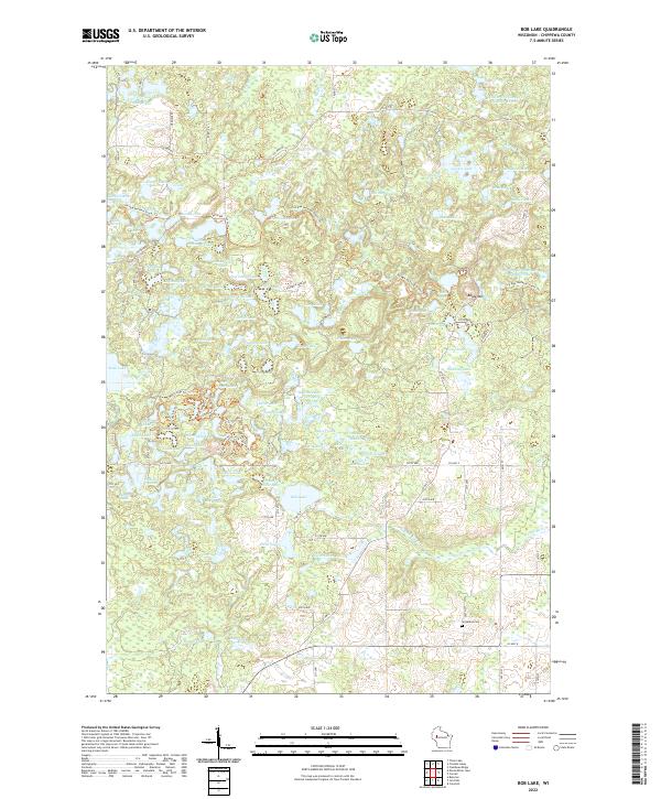
2022 Bob Lake
Chippewa County, WI
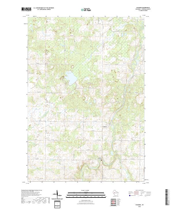
2022 Colburn
Chippewa County, WI
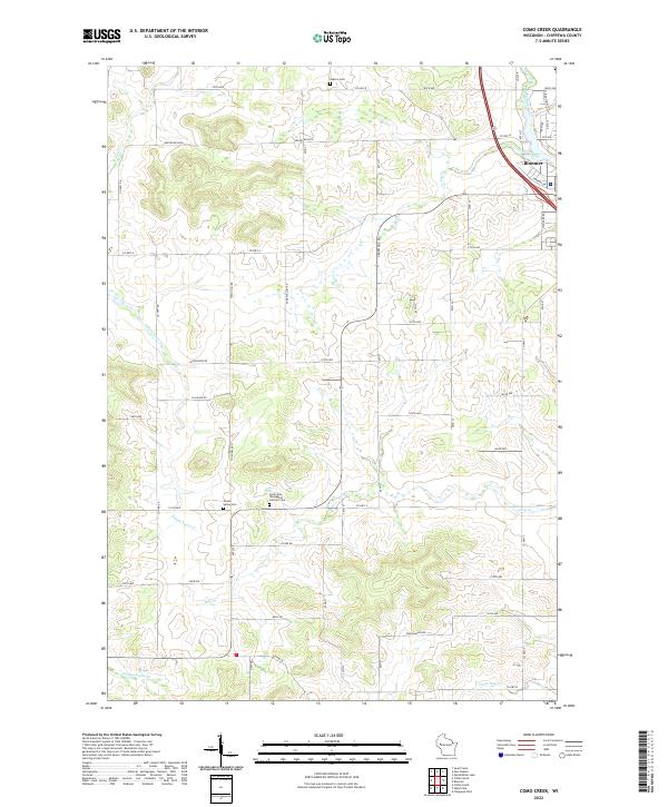
2022 Como Creek
Chippewa County, WI
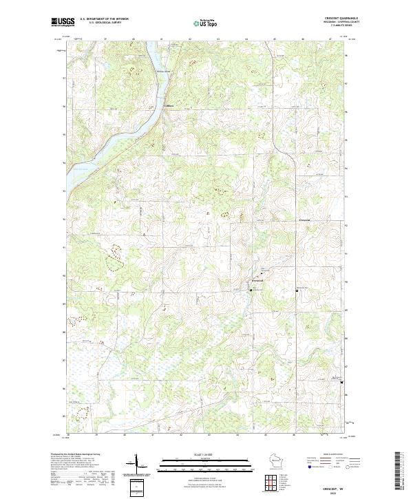
2022 Crescent
Chippewa County, WI
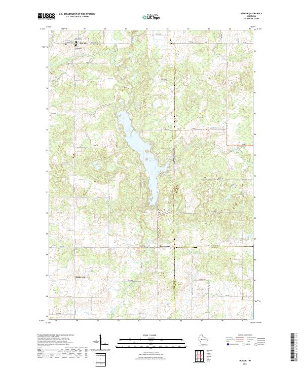
2022 Huron
Chippewa County, WI
2022 Marsh-Miller Lake
Chippewa County, WI
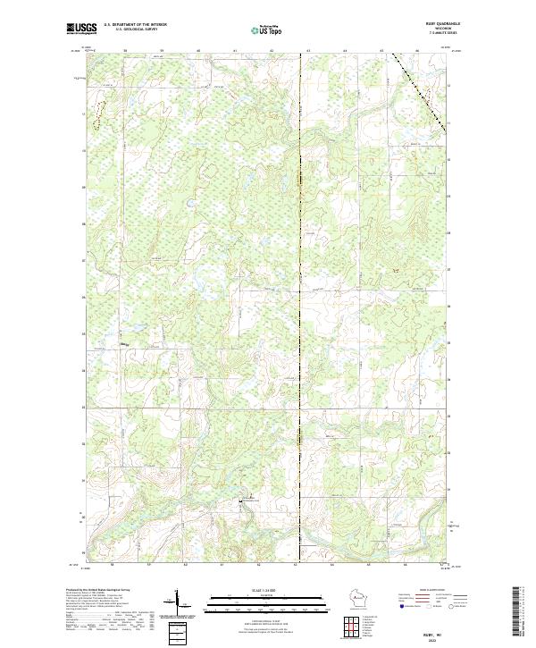
2022 Ruby
Chippewa County, WI