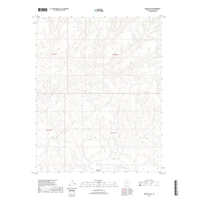
2018 Map of Marsh Pass SE
USGS Topo · Published 2018About this map
Moenkopi Wash cuts through the southern reaches of this Navajo County landscape, defining the local drainage pattern amidst a network of intricate canyons and high plateaus. The terrain is marked by a sparse but essential human presence, centered on utilitarian transport routes like the Main Rd and the specifically designated Haulage Rd, which suggest localized industrial or resource extraction activity in the early 21st century. High-elevation water sources such as Pine Spring provide rare focal points for life and navigation in this arid environment. The map records a complex topographical profile where elevations shift rapidly across several townships, including t37n r18e and t36n r19e, illustrating the varied physical geography of the Arizona high desert.
Find a feature on this map
8 named features on this map. Tap any name to fly to it.
Don’t see what you’re looking for? This feature index may not catch every label — zoom into the map to look around manually.
Map Details
Editions of this 2018 Marsh Pass SE Map
This is the sole edition of this map. No revisions or reprints were ever made.
Other maps of this area

1883 · Marsh Pass
USGS Topo · 1:250,000

1892 · Marsh Pass
USGS Topo · 1:250,000

1956 · Marble Canyon
USGS Topo · 1:250,000

1959 · Marble Canyon
USGS Topo · 1:250,000

1961 · Marble Canyon
USGS Topo · 1:250,000
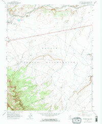
1968 · Kayenta East
USGS Topo · 1:24,000
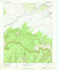
1968 · Kayenta West
USGS Topo · 1:24,000

1968 · Marsh Pass
USGS Topo · 1:24,000
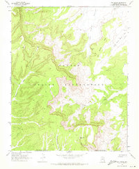
1968 · Owl Spring
USGS Topo · 1:24,000

1968 · Yucca Hill
USGS Topo · 1:24,000