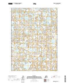
2020 Map of Marshall A-7 NE
USGS Topo · Published 2020About this map
Uninhabited wetlands and complex water systems characterize this portion of the Kusilvak Census Area in western Alaska. The landscape is defined by an intricate network of unnamed lakes and marshy terrain, divided primarily by the Public Land Survey System boundaries of t13n r85w, t13n r84w, t12n r85w, and t12n r84w. This specific survey demonstrates the remote and largely inaccessible nature of the Alaskan tundra, where seasonal water levels and permafrost dictate the topography. There are no roads, settlements, or structures indicated on the map, highlighting a pristine environment managed by various state and federal agencies including the Alaska Department of Transportation and the National Wetlands Inventory.
Find a feature on this map
4 named features on this map. Tap any name to fly to it.
Don’t see what you’re looking for? This feature index may not catch every label — zoom into the map to look around manually.
Map Details
Editions of this 2020 Marshall A-7 NE Map
This is the sole edition of this map. No revisions or reprints were ever made.
Other maps of this area

1951 · Marshall
USGS Topo · 1:250,000

1953 · Marshall B-6
USGS Topo · 1:63,360

1953 · Marshall B-7
USGS Topo · 1:63,360

1954 · Marshall A-6
USGS Topo · 1:63,360
1954 · Marshall A-7
USGS Topo · 1:63,360

1954 · Marshall
USGS Topo · 1:250,000
1957 · Marshall B-7
USGS Topo · 1:63,360
2020 · Marshall B-7 SW
USGS Topo · 1:25,000
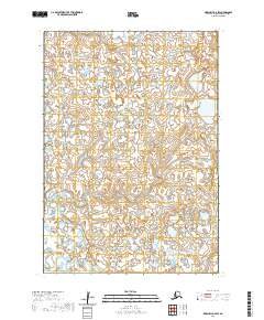
2020 · Marshall B-6 SW
USGS Topo · 1:25,000
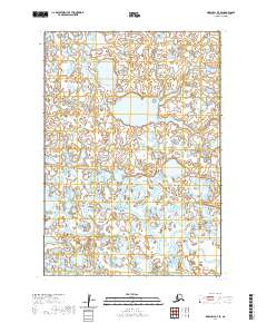
2020 · Marshall B-7 SE
USGS Topo · 1:25,000