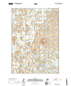
2020 Map of Marshall B-7 SW
USGS Topo · Published 2020About this map
The Manokinak River meanders across this landscape in the Kusilvak Census Area, defining a vast complex of wetlands and small water bodies. The terrain is characterized by intricate hydrological patterns where the river bends sharply through the lowland tundra, joined by the Asun River in the west and the Tulik River in the southeast. These waterways serve as the primary geographical markers in an area defined by its saturated soils and lack of permanent road infrastructure or settlements. The survey captures the natural state of the Alaskan wilderness as it appeared in the early twenty-first century, providing a baseline for environmental researchers and those studying the shifting courses of Arctic river systems.
Find a feature on this map
9 named features on this map. Tap any name to fly to it.
Don’t see what you’re looking for? This feature index may not catch every label — zoom into the map to look around manually.
Map Details
Editions of this 2020 Marshall B-7 SW Map
This is the sole edition of this map. No revisions or reprints were ever made.
Other maps of this area

1951 · Marshall
USGS Topo · 1:250,000
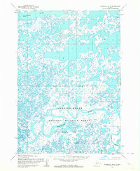
1953 · Marshall B-8
USGS Topo · 1:63,360

1953 · Marshall B-7
USGS Topo · 1:63,360
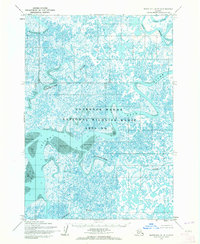
1954 · Marshall A-8
USGS Topo · 1:63,360
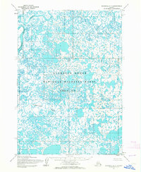
1954 · Marshall A-7
USGS Topo · 1:63,360

1954 · Marshall
USGS Topo · 1:250,000
1957 · Marshall B-7
USGS Topo · 1:63,360
2020 · Marshall B-8 NE
USGS Topo · 1:25,000
2020 · Marshall B-7 NW
USGS Topo · 1:25,000
2020 · Marshall A-7 NE
USGS Topo · 1:25,000