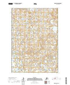
2020 Map of Marshall B-6 SW
USGS Topo · Published 2020About this map
The Talik River winds through this low-lying Alaskan landscape in the Kusilvak Census Area, highlighting a region defined by intricate drainage patterns and expansive wetlands. Surveyed in 2020, this portion of the Marshall B-6 SW quadrangle focuses on the vast, water-heavy terrain typical of the Yukon-Kuskokwim Delta area, where small lakes and marshy ground predominate. The lack of named settlements or roads underscores the wilderness character of these townships, which include parts of t15n r83w and t14n r83w. For researchers, the map provides a contemporary baseline of hydrography, showing how water bodies and river channels distribute across the tundra before they reach the larger coastal systems of the Bering Sea.
Find a feature on this map
8 named features on this map. Tap any name to fly to it.
Don’t see what you’re looking for? This feature index may not catch every label — zoom into the map to look around manually.
Map Details
Editions of this 2020 Marshall B-6 SW Map
This is the sole edition of this map. No revisions or reprints were ever made.
Other maps of this area

1951 · Marshall
USGS Topo · 1:250,000

1953 · Marshall B-6
USGS Topo · 1:63,360

1953 · Marshall B-7
USGS Topo · 1:63,360

1954 · Marshall A-6
USGS Topo · 1:63,360
1954 · Marshall A-7
USGS Topo · 1:63,360

1954 · Marshall
USGS Topo · 1:250,000
1957 · Marshall B-7
USGS Topo · 1:63,360
2020 · Marshall B-6 SE
USGS Topo · 1:25,000
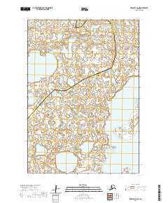
2020 · Marshall A-6 NE
USGS Topo · 1:25,000
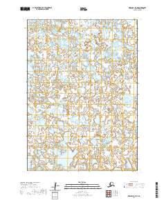
2020 · Marshall A-7 NE
USGS Topo · 1:25,000