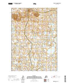
2020 Map of Marshall B-6 SE
USGS Topo · Published 2020About this map
Ingakslugwat Hills rise as the dominant terrain feature in this 2020 U.S. Geological Survey topographic study, overlooking a complex landscape of wetlands and water bodies. Located at the boundary of the Bethel Census Area and the Kusilvak Census Area, this region is defined by its remote, unpopulated character where hydrology and subtle elevation changes dictate the layout of the land. The map provides a precise view of the survey townships, including t15n r82w and t14n r82w, which form the legal framework for this wilderness. The concentration of lakes and small ponds throughout the eastern and central portions of the quadrangle illustrates the intricate drainage patterns common to this part of Alaska, offering researchers a look at the state of this environment in the early 21st century.
Find a feature on this map
9 named features on this map. Tap any name to fly to it.
Don’t see what you’re looking for? This feature index may not catch every label — zoom into the map to look around manually.
Map Details
Editions of this 2020 Marshall B-6 SE Map
This is the sole edition of this map. No revisions or reprints were ever made.
Other maps of this area

1951 · Marshall
USGS Topo · 1:250,000
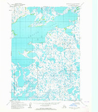
1953 · Marshall A-5
USGS Topo · 1:63,360

1953 · Marshall B-6
USGS Topo · 1:63,360

1953 · Marshall B-5
USGS Topo · 1:63,360

1954 · Marshall A-6
USGS Topo · 1:63,360

1954 · Marshall
USGS Topo · 1:250,000
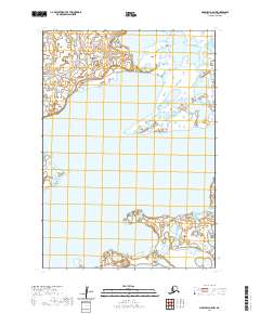
2020 · Marshall A-5 NW
USGS Topo · 1:25,000
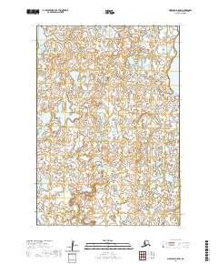
2020 · Marshall B-5 NW
USGS Topo · 1:25,000
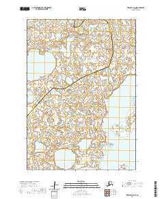
2020 · Marshall A-6 NE
USGS Topo · 1:25,000
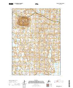
2020 · Marshall B-5 SW
USGS Topo · 1:25,000