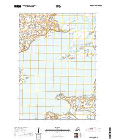
2020 Map of Marshall A-5 NW
USGS Topo · Published 2020About this map
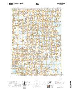
Aropuk Lake dominates the central landscape of this western Alaska region within the Bethel Census Area. The terrain is defined by a complex network of wetlands and water bodies, characteristic of the Yukon-Kuskokwim Delta region. The map details the Public Land Survey System grid across four townships, including t13n r81w and t12n r81w, illustrating the geometric division of this roadless wilderness. This 2020 survey integrates data from several decades, including hydrography and wetland layers that trace the shifting aquatic environment of the tundra. The absence of permanent settlements or infrastructure highlights the isolation of this expansive wetland complex, where the vast water footprint of Aropuk Lake serves as the primary geographic landmark for researchers and land managers.
Find a feature on this map
5 named features on this map. Tap any name to fly to it.
Don’t see what you’re looking for? This feature index may not catch every label — zoom into the map to look around manually.
Map Details
Editions of this 2020 Marshall A-5 NW Map
This is the sole edition of this map. No revisions or reprints were ever made.
Other maps of this area

1951 · Marshall
USGS Topo · 1:250,000
1953 · Marshall A-5
USGS Topo · 1:63,360

1953 · Marshall B-6
USGS Topo · 1:63,360

1953 · Marshall B-5
USGS Topo · 1:63,360

1954 · Marshall A-6
USGS Topo · 1:63,360

1954 · Marshall
USGS Topo · 1:250,000
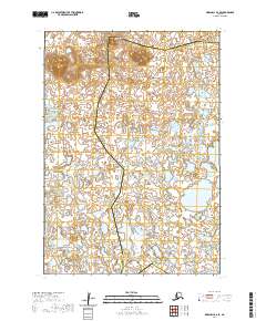
2020 · Marshall B-6 SE
USGS Topo · 1:25,000
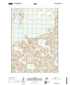
2020 · Marshall A-5 NE
USGS Topo · 1:25,000
2020 · Marshall A-5 SE
USGS Topo · 1:25,000
2020 · Marshall A-6 NE
USGS Topo · 1:25,000